Historical Site
Location: Miles
Location: Western Downs Regional
GPS coordinates: -26.65089,150.11053
Latest update: November 1, 2025 14:48
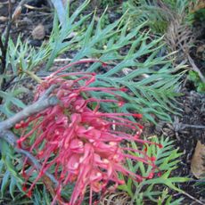
Myall Park Botanic Garden
76.9 km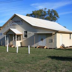
Cactoblastis Memorial Hall
62.3 km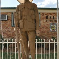
Chinchilla Digger Statue
52 km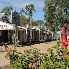
Miles Historical Village and Museum
8.7 km
Big Melon
52.6 km
Cobb and Co Wall
72.5 km
Monument
7.8 km
Big Watermelon
52.8 km
White Gums Art Gallery
52.1 km
The Man Who Steadies the Lead
77.8 km
Statue, Work of art
52.6 km
View of Lidwig Leichhardt's Conicle Hill
63.8 km
Kogan Creek Power Station
69.7 km
Scenic viewpoint
82.9 km
The Old Play Shed
48.4 km
Monument
77.3 km
Haystack School Building
86.1 km
Monument
30.3 km
Monument
30.8 km
Memorial
60.9 km
Memorial, commemorative plaque
30.9 km
Memorial, commemorative plaque
30.7 km
Memorial, commemorative plaque
30.7 km
Commemorative plaque, memorial
9.4 km
Leichhardt Memorial
52.7 km
Memorial, commemorative plaque
7.7 km
Roehrig Graves
13 km
Bush Friendship
77.8 kmReviews
Visited this place? Tap the stars to rate it and share your experience / photos with the community! Try now! You can cancel it anytime.
Discover hidden gems everywhere you go!
From secret cafés to breathtaking viewpoints, skip the crowded tourist spots and find places that match your style. Our app makes it easy with voice search, smart filtering, route optimization, and insider tips from travelers worldwide. Download now for the complete mobile experience.

A unique approach to discovering new places❞
— Le Figaro
All the places worth exploring❞
— France Info
A tailor-made excursion in just a few clicks❞
— 20 Minutes