XXXX Hill - 44 Gal Drum on a Stick
Location: Stonehenge
Location: Barcoo Shire
GPS coordinates: -24.35874,143.32470
Latest update: November 1, 2025 01:14
Welford National Park
69.6 km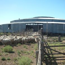
Isis Downs Woolshed
133.1 km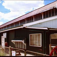
Longreach Powerhouse
138.7 km
Welford Homestead
69.8 km
Longreach Ambulance Centre
138.7 km
Old Isisford District Hospital
113.6 km
Longreach Powerhouse and Historical Museum
138.7 km
Desert Waterhole
90.3 km
Mount Slowcombe Lookout
91.7 km
Sandos Sandhill (Photo-Op)
136.6 km
Native Well
32.3 km
The Big Yellowbelly
113.2 km
Isisford Heritage Wall
113.2 km
Yuranigh Ponds Heritage Site
117.2 km
Flood Levels - Point of Interest
128.1 km
Sand dune
86.9 km
Stonehenge Address Book
1.3 km
Outer Barcoo Interpretation Centre
113.9 km
Old Court House
136.4 km
Scenic viewpoint
26 km
Historic Site of Tocal Hotel
54 km
SIte of abandoned town of Arrilalah (formerly Forest Grove)
94.4 km
Major Mitchell Marker
105.3 km
Barcoo War Memorial
59 km
Monument
99.3 km
ANZAC
91.7 km
Monument
96 km
Michael Magee's shanty site
83.7 kmReviews
Visited this place? Tap the stars to rate it and share your experience / photos with the community! Try now! You can cancel it anytime.
Discover hidden gems everywhere you go!
From secret cafés to breathtaking viewpoints, skip the crowded tourist spots and find places that match your style. Our app makes it easy with voice search, smart filtering, route optimization, and insider tips from travelers worldwide. Download now for the complete mobile experience.

A unique approach to discovering new places❞
— Le Figaro
All the places worth exploring❞
— France Info
A tailor-made excursion in just a few clicks❞
— 20 Minutes