Barraba Silos
Location: Barraba
Location: Tamworth Regional Council
GPS coordinates: -30.39934,150.61420
Latest update: October 11, 2024 01:50
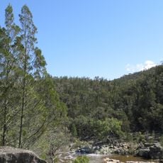
Warrabah National Park
36.7 km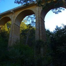
Manilla railway underbridges
28 km
Gwyder Falls
28 km
Dowe National Park
44.9 km
Rusden State Forest
43.8 km
Split Rock Reservoir
15.9 km
Gilbert Park
17.5 km
V C Byrnes Lookout
38.6 km
Ruby Hill Fossicking Area
40.6 km
Scenic viewpoint
23.7 km
Manilla Paragliding
31 km
Bingara Falls
31.7 km
Old school site
21 km
Scenic viewpoint
20.9 km
Old Ballarat Lookout
38.7 km
Pioneers of Manilla & District
39.9 km
Manilla Chinese Pioneers Memorial Garden
39.9 km
Elysium Gallery
40.2 km
Horton Falls
27.5 km
Waterfall
42.4 km
Kurrawonga Falls
42.4 km
Adams Lookout
4.3 km
Mount Lindsay
43.9 km
Bundabulla Lookout
44.2 km
Eckford Lookout
44.8 km
Horsearm Creek Lookout
44.8 km
Barraba Golf Course
3.8 km
Scenic viewpoint
45.4 kmReviews
Visited this place? Tap the stars to rate it and share your experience / photos with the community! Try now! You can cancel it anytime.
Discover hidden gems everywhere you go!
From secret cafés to breathtaking viewpoints, skip the crowded tourist spots and find places that match your style. Our app makes it easy with voice search, smart filtering, route optimization, and insider tips from travelers worldwide. Download now for the complete mobile experience.

A unique approach to discovering new places❞
— Le Figaro
All the places worth exploring❞
— France Info
A tailor-made excursion in just a few clicks❞
— 20 Minutes