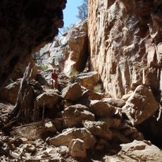
Exploring Wildflower Country - Marchagee
Location: Marchagee
Location: Shire Of Coorow
GPS coordinates: -30.04930,116.07551
Latest update: October 15, 2025 22:11
Watheroo National Park
29 km
Alexander Morrison National Park
47.8 km
Carnamah Historical Society
44.1 km
Caron Coal Stage
57.3 km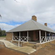
Macpherson Homestead
43.9 km
Wubin Wheatbin
53.9 km
Maya grain receival point
45.2 km
Carnamah Big Tractor
44.2 km
Miamoon Old School Site
40 km
Carnamah Golf Course
41.2 km
Scenic viewpoint
43.6 km
Yarra Yarra Lakes Lookout
43.7 km
Miamoon School Site 1935-1950
40 km
Exploring Wildflower Country - Community Farm
19.4 km
War Memorial
44.1 km
Waddy Forest Post Office and Store
22.3 km
Carnamah Big Tractor
44.2 km
Latham's Rock (no sign)
44.9 km
Mia Moon Gnamma Hole
40.5 km
Wildflower Information Bay
45.3 km
Coorow Golf Club
18.7 km
Latham Maya Centenary
48.1 km
Terinas Wildflower Walk
48.3 km
Buntine Golf Course
48.8 km
Latham Golf Club
49.1 km
Buntine Rock
50.1 km
Exploring Wildflower Country - Waddy Forest Hall
22.3 km
Miling Golf Club
57 kmReviews
Visited this place? Tap the stars to rate it and share your experience / photos with the community! Try now! You can cancel it anytime.
Discover hidden gems everywhere you go!
From secret cafés to breathtaking viewpoints, skip the crowded tourist spots and find places that match your style. Our app makes it easy with voice search, smart filtering, route optimization, and insider tips from travelers worldwide. Download now for the complete mobile experience.

A unique approach to discovering new places❞
— Le Figaro
All the places worth exploring❞
— France Info
A tailor-made excursion in just a few clicks❞
— 20 Minutes