Santos - Moonie Oil Fields
Location: Moonie
Location: Western Downs Regional
GPS coordinates: -27.75744,150.24558
Latest update: November 10, 2025 00:45
Myall Park Botanic Garden
85.1 km
Wondul Range National Park
83.6 km
Southwood National Park
12.3 km
Bendidee National Park
66.3 km
Erringibba National Park
74.6 km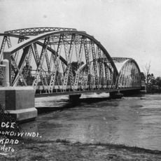
Goondiwindi Border Bridge
88.4 km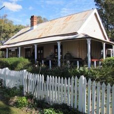
Customs House Museum
88.3 km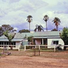
Wyaga Homestead
60.3 km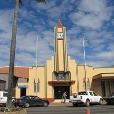
Goondiwindi Civic Centre
88.1 km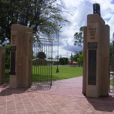
Goondiwindi War Memorial
88 km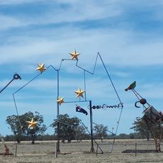
Big Map of Australia
85.5 km
Kumbarilla State Forest
75.1 km
Goondiwindi Botanic Gardens of the Western Woodlands
86.3 km
Work of art
88.3 km
Memorial
88 km
Work of art
88.3 km
Work of art
88.3 km
Gunsynd - The Goondiwindi Grey Memorial
88.4 km
Marmadua No.1 fire tower remains
48.9 km
Old Forestry office site
53.8 km
Goondiwindi Golf Course
86.4 km
Monument
88.4 km
Monument
58 km
Monument
18.9 km
Monument
93.1 km
Memorial, commemorative plaque
93 km
Memorial, commemorative plaque
93.2 km
Memorial, commemorative plaque
93.2 kmReviews
Visited this place? Tap the stars to rate it and share your experience / photos with the community! Try now! You can cancel it anytime.
Discover hidden gems everywhere you go!
From secret cafés to breathtaking viewpoints, skip the crowded tourist spots and find places that match your style. Our app makes it easy with voice search, smart filtering, route optimization, and insider tips from travelers worldwide. Download now for the complete mobile experience.

A unique approach to discovering new places❞
— Le Figaro
All the places worth exploring❞
— France Info
A tailor-made excursion in just a few clicks❞
— 20 Minutes