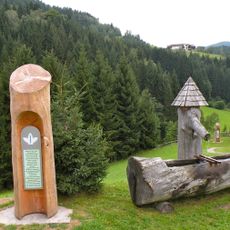
Opferstein
Location: Schönau im Mühlkreis
GPS coordinates: 48.36591,14.71112
Latest update: October 11, 2024 01:52
Johannesweg
1.5 km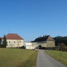
Schloss Zellhof
2.8 km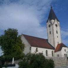
Sankt Johannes der Täufer
3.6 km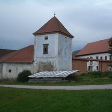
Schloss Aich
2.5 km
Pranger Bad Zell
3.6 km
Sankt Jakobus (Schönau im Mühlkreis)
3.5 km
Edelsitz Zell
3.6 km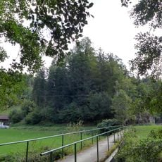
Burgstall Neuhaus
3.4 km
Dreifaltigkeitskapelle
2.8 km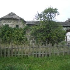
Bauernhof Unterpichler, Bad Zell
1.1 km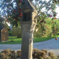
Steinernes Kreuz, Schwedenkreuz
3.3 km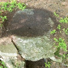
Pechölstein in Kaining
2.7 km
Gemeindeamt
3.5 km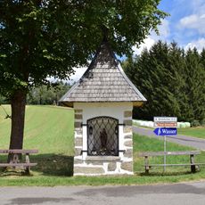
Bildstock Hinterhütten
2.5 km
Pfarrhof, Kindergarten
3.6 km
Ehem. Marktspital
3.2 km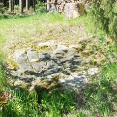
Pechölstein at the Kreuzberger farm
2.8 km
Figur Hl. Johannes Nepomuk
3.6 km
Christianity, wayside shrine
2.7 km
Wayside cross
3.4 km
Wayside shrine
1.9 km
Wayside shrine
3.5 km
Wayside shrine
1.8 km
Pierbacher Kugelmühle
1.7 km
Wayside cross
537 m
Wayside cross
3.1 km
Wayside shrine
3.6 km
Wayside shrine
3.2 kmReviews
Visited this place? Tap the stars to rate it and share your experience / photos with the community! Try now! You can cancel it anytime.
Discover hidden gems everywhere you go!
From secret cafés to breathtaking viewpoints, skip the crowded tourist spots and find places that match your style. Our app makes it easy with voice search, smart filtering, route optimization, and insider tips from travelers worldwide. Download now for the complete mobile experience.

A unique approach to discovering new places❞
— Le Figaro
All the places worth exploring❞
— France Info
A tailor-made excursion in just a few clicks❞
— 20 Minutes