Kohlerlucka
Location: St. Leonhard bei Freistadt
GPS coordinates: 48.43898,14.67905
Latest update: November 13, 2025 07:04
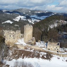
Prandegg Castle
2.9 km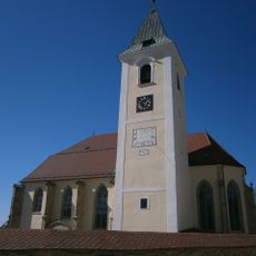
Saint Leonard Church
546 m
Burgstall Strafenberg
2.6 km
Burgstall Rametstein
2.2 km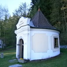
Bründl-Kapelle
492 m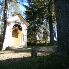
Sieben-Schmerzen-Kapellen
284 m
Ein Obelisk mit der Jahreszahl 1759. Daneben steht ein Symbol für die Freiung, ein Mast mit einem Arm für das Schwert.
491 m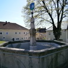
Brunnen
479 m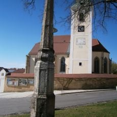
Pranger, Rekonstruktion
491 m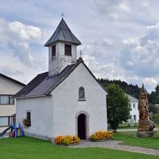
Dorfkapelle Langfirling
2.7 km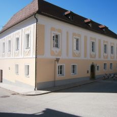
Pfarrhof
535 m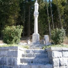
Mariensäule
404 m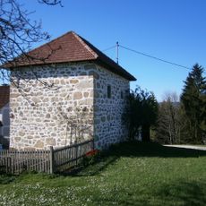
Zehentturm
1.3 km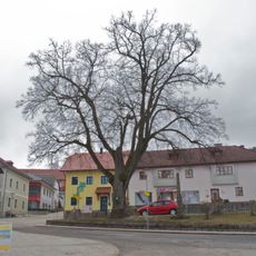
Dorflinde in St. Leonhard
496 m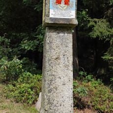
Seileder Kreuzstöckl
2.1 km
Opferschalenstein
1.9 km
Opfersteine Mühlberg
1.3 km
Kultur Zentrum St. Leonhard
564 m
Panoramablick Haiderberg
1.6 km
Scenic viewpoint
1.9 km
Scenic viewpoint
614 m
Wayside cross
2.6 km
Lourdesgrotte
477 m
Herzerlstein
2.4 km
Pechölstein
1.4 km
Christianity, wayside shrine
2.7 km
Wayside cross
2.7 km
Weltuntergangssteine
1.6 kmReviews
Visited this place? Tap the stars to rate it and share your experience / photos with the community! Try now! You can cancel it anytime.
Discover hidden gems everywhere you go!
From secret cafés to breathtaking viewpoints, skip the crowded tourist spots and find places that match your style. Our app makes it easy with voice search, smart filtering, route optimization, and insider tips from travelers worldwide. Download now for the complete mobile experience.

A unique approach to discovering new places❞
— Le Figaro
All the places worth exploring❞
— France Info
A tailor-made excursion in just a few clicks❞
— 20 Minutes