
Le Pont Cassé
Location: Vresse-sur-Semois
GPS coordinates: 49.86816,4.88553
Latest update: November 16, 2025 07:29
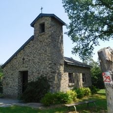
Chapelle du Flachis
3.4 km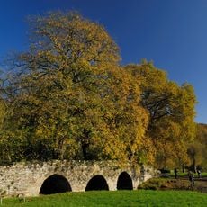
Pont Saint-Lambert
3.4 km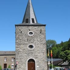
Saint-Lambert church
3.4 km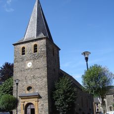
Saint Leodegarius church
414 m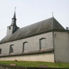
Saint-Agatha church
3.2 km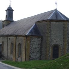
Église Saint-Jean-Baptiste des Hautes-Rivières
3.5 km
Fondation chaidron-Guisset
3.5 km
Scenic viewpoint
3.4 km
La Grand Rotche
3.4 km
La Cuve
1.1 km
La Croix
732 m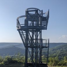
Tour de la Roche à Saloru
1.7 km
Point de vue du Jambon
1.9 km
Les 8 Semois
774 m
Dead end street, scenic viewpoint
22 m
Scenic viewpoint
984 m
La roche Margot
3.5 km
Plage de Membre (herbe)
1.2 km
La table des fées
1.1 km
La Cheminée
1.2 km
De blokkenweg
2.9 km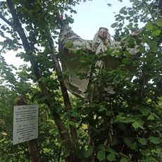
De witte dame
3.1 km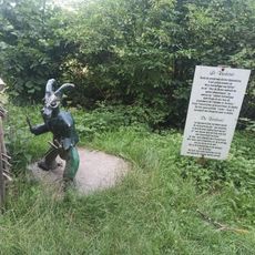
De verbouc
3.1 km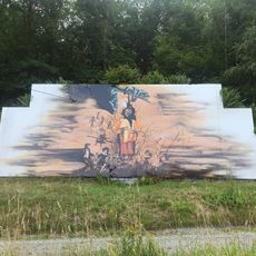
De duivel
3 km
Statue, Work of art
3.2 km
Christianity, wayside shrine
1.3 km
Chapelle du Flachi
3.4 km
Memorial
1.1 kmReviews
Visited this place? Tap the stars to rate it and share your experience / photos with the community! Try now! You can cancel it anytime.
Discover hidden gems everywhere you go!
From secret cafés to breathtaking viewpoints, skip the crowded tourist spots and find places that match your style. Our app makes it easy with voice search, smart filtering, route optimization, and insider tips from travelers worldwide. Download now for the complete mobile experience.

A unique approach to discovering new places❞
— Le Figaro
All the places worth exploring❞
— France Info
A tailor-made excursion in just a few clicks❞
— 20 Minutes