
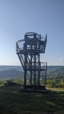
Tour de la Roche à Saloru
Location: Membre
Location: Vresse-sur-Semois
GPS coordinates: 49.86291,4.90795
Latest update: October 24, 2025 18:44
Tombeau du Géant
11.1 km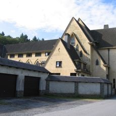
Abbey of Cordemois
12.4 km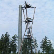
Tour du Millénaire
10.8 km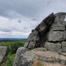
Roc la Tour
9.3 km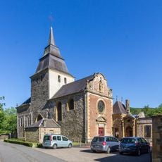
Abbaye de Laval Dieu
11.9 km
Église Saint-Antoine des Hauts-Buttés
12.8 km
Château de Linchamps
7.3 km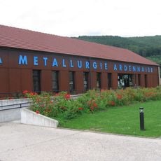
Musée Métallurgie Ardenne
11.1 km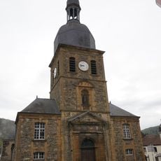
Collégiale Saint-Vivent de Braux
10.1 km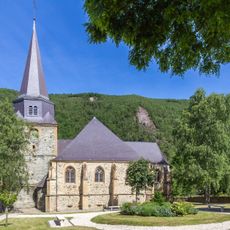
Église Saint-Léger
13 km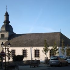
Église Saint-Firmin de Rochehaut
7.5 km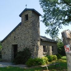
Chapelle du Flachis
3.3 km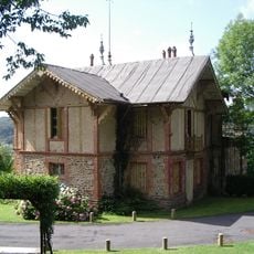
Château Marcadet
10.7 km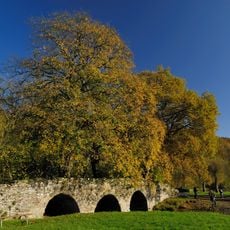
Pont Saint-Lambert
1.9 km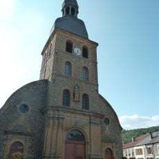
Église Saint-Rémy de Gespunsart
7.4 km
Chapelle Saint-Monon de Cornimont
6.5 km
Église de Nouzonville
12.8 km
Saint-Agatha church
1.6 km
Église Notre-Dame de Fleigneux
13.1 km
Église Saint-Nicolas de La Grandville
12.3 km
Église Saint-Charles de Bosseval-et-Briancourt
12.3 km
Église Saint-Remi de Thilay
7.3 km
Église Notre-Dame de Gernelle
12.5 km
Église de Joigny
10.9 km
Église Saint-Côme-Saint-Damien de Neufmanil
9.9 km
Église Saint-Jean-Baptiste des Hautes-Rivières
5.2 km
Église de Linchamps
7.5 km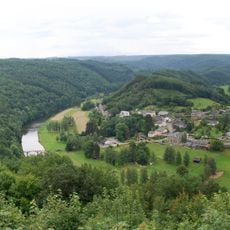
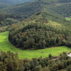
Meander of the Semois river at Frahan
7.2 kmReviews
Visited this place? Tap the stars to rate it and share your experience / photos with the community! Try now! You can cancel it anytime.
Discover hidden gems everywhere you go!
From secret cafés to breathtaking viewpoints, skip the crowded tourist spots and find places that match your style. Our app makes it easy with voice search, smart filtering, route optimization, and insider tips from travelers worldwide. Download now for the complete mobile experience.

A unique approach to discovering new places❞
— Le Figaro
All the places worth exploring❞
— France Info
A tailor-made excursion in just a few clicks❞
— 20 Minutes