Camp Rovnost – Mine entry for prisoners
Location: Jáchymov
Operator: Uranové doly Jáchymov
GPS coordinates: 50.37135,12.89355
Latest update: October 11, 2024 02:28
Naučná stezka Jáchymovské peklo
1.2 km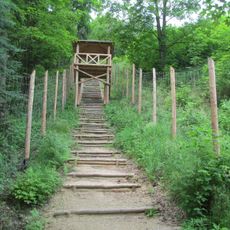
Ŝtupoj de teruro
1.2 km
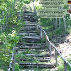
Labour camp Rovnost
222 m
Freudenstein
1.3 km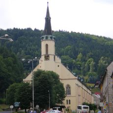
Saint Joachim Church
1.4 km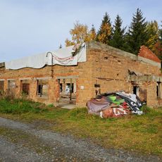
Ржетизкарна – Дом цепей
12 m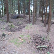
Schweitzer Pinges
560 m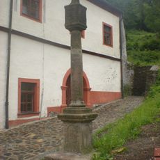
Column shrine in Jáchymov
1.4 km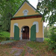
Kaple Panny Marie Altöttingské (Nové Město)
1.1 km
Leithund
1.4 km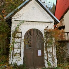
Virgin Mary Chapel
1.1 km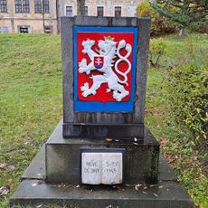
Pomník Nové dějiny
1.4 km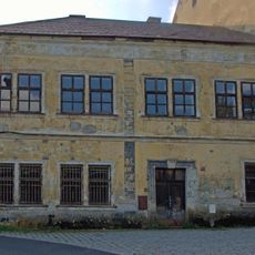
Náměstí Republiky če. 21
1.4 km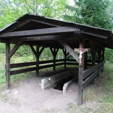
Korekce TNP Svornost v Jáchymově
1.2 km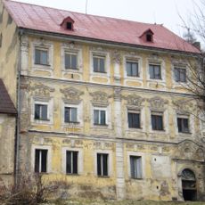
Děkanství
1.4 km
Náměstí Republiky čp. 73
1.3 km
Elijah Valley ore district
713 m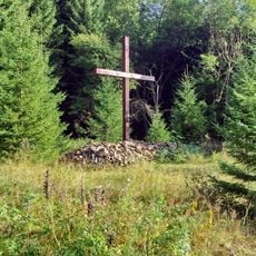
Skautská mohyla v Jáchymově
967 m
Palečkův hrad
44 m
Scenic viewpoint
1.3 km
Zentrale Kompressoranlage
630 m
Ludek Rauch
889 m
Grube Einigkeit
1.3 km
Scenic viewpoint
1.2 km
Mohyla Eliáš
939 m
Labor camp Eliáš II
984 m
Labor camp Rovnost
193 m
Labor camp Eliáš I
705 mReviews
Visited this place? Tap the stars to rate it and share your experience / photos with the community! Try now! You can cancel it anytime.
Discover hidden gems everywhere you go!
From secret cafés to breathtaking viewpoints, skip the crowded tourist spots and find places that match your style. Our app makes it easy with voice search, smart filtering, route optimization, and insider tips from travelers worldwide. Download now for the complete mobile experience.

A unique approach to discovering new places❞
— Le Figaro
All the places worth exploring❞
— France Info
A tailor-made excursion in just a few clicks❞
— 20 Minutes