Plattenweg - Voie Romaine
Location: Ernolsheim-lès-Saverne
GPS coordinates: 48.77982,7.36379
Latest update: November 29, 2025 12:12
Mont Saint-Michel
523 m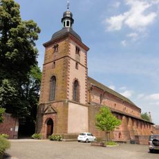
Abbatiale Saint-Jean-Baptiste de Saint-Jean-Saverne
881 m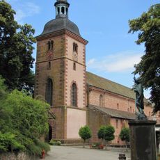
Abbaye Saint-Jean-Baptiste de Saint-Jean-Saverne
877 m
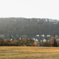
Heidenstadt
147 m
Cimetière de Saint-Jean-Saverne
845 m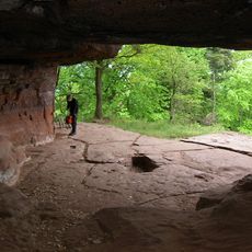
Grotte aux Fées
482 m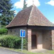
Chapelle Saint-Wendelin de Saint-Jean-Saverne
981 m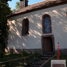
Chapelle Saint-Michel, Saint-Jean-Saverne
516 m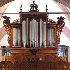
Orgue de tribune de l'abbatiale Saint-Jean-Baptiste de Saint-Jean-Saverne
881 m
Scenic viewpoint
642 m
Scenic viewpoint
548 m
Scenic viewpoint
475 m
Scenic viewpoint
817 m
Scenic viewpoint
429 m
Borne Romaine
630 m
Rocher Kanzel
684 m
Rond des Sorcières
473 m
Rocher du Frohnberg
421 m
Rocher du Spitzfelsen
786 m
Ancienne Jagdhütte
1.2 km
Fontaine des Enfants
511 m
Wasserfallfelsen
736 m
Endroit a châtaignes
212 m
Croix du Langenthal
1 km
Front de Taille Carrière de Frohnberg
849 m
Pierres à Cupules- Carrière de Frohnberg
980 m
Voussoir
903 m
Monument aux morts
908 mReviews
Visited this place? Tap the stars to rate it and share your experience / photos with the community! Try now! You can cancel it anytime.
Discover hidden gems everywhere you go!
From secret cafés to breathtaking viewpoints, skip the crowded tourist spots and find places that match your style. Our app makes it easy with voice search, smart filtering, route optimization, and insider tips from travelers worldwide. Download now for the complete mobile experience.

A unique approach to discovering new places❞
— Le Figaro
All the places worth exploring❞
— France Info
A tailor-made excursion in just a few clicks❞
— 20 Minutes