Ancien pont
Location: Neuwiller-lès-Saverne
GPS coordinates: 48.82728,7.43728
Latest update: November 22, 2025 05:42
Bastberg
2 km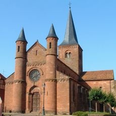
Église Saint-Adelphe de Neuwiller-lès-Saverne
2.3 km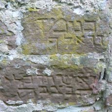
Cimetière juif de Neuwiller-lès-Saverne
2 km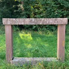
Banc reposoir de Bouxwiller-Oberholz
872 m
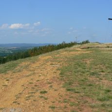
Réserve naturelle régionale de la colline du Bastberg
2 km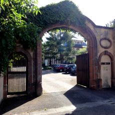
Château Freihof, Neuwiller-lès-Saverne
2.2 km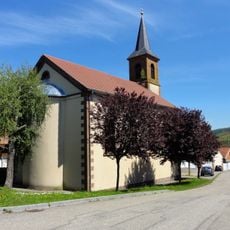
Chapelle Saint-Georges de Grisbach-le-Bastberg
1.4 km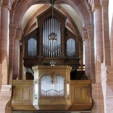
Orgue de tribune de l'église Saint-Adelphe de Neuwiller-lès-Saverne
2.3 km
Scenic viewpoint
2.1 km
Scenic viewpoint
2 km
Scenic viewpoint
2 km
Ancien passage à niveau
2 km
Chorten Le Casque
2.2 km
Ancien pont
2 km
Porte du Kaltor
2.2 km
Ancienne gare
1.7 km
Ancien passage à niveau
859 m
Lavoir
1.7 km
Chorten Goliath
2 km
Chorten La Porte
2.2 km
Tour de l'ancien château médiéval
2.2 km
Chorten Le Masque
1.7 km
Chorten "L Oeuf"
1.7 km
Chorten "Le Temple"
1.9 km
Chorten La Vrille
1.7 km
Work of art
2.1 km
Croix du Bastberg
2 km
Banc Napoléonien
870 mReviews
Visited this place? Tap the stars to rate it and share your experience / photos with the community! Try now! You can cancel it anytime.
Discover hidden gems everywhere you go!
From secret cafés to breathtaking viewpoints, skip the crowded tourist spots and find places that match your style. Our app makes it easy with voice search, smart filtering, route optimization, and insider tips from travelers worldwide. Download now for the complete mobile experience.

A unique approach to discovering new places❞
— Le Figaro
All the places worth exploring❞
— France Info
A tailor-made excursion in just a few clicks❞
— 20 Minutes