Cheminées de fées
Location: Saint-Paul-sur-Ubaye
GPS coordinates: 44.52523,6.73357
Latest update: November 11, 2025 03:29
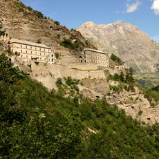
Fort de Tournoux
6.4 km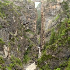
Pont du Châtelet
4.3 km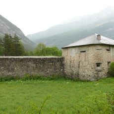
Redoute de Berwick
4.9 km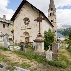
Église Saints-Pierre-et-Paul de Saint-Paul-sur-Ubaye
1.8 km
Pointe de l'Eyssina
5 km
Tête de l'Homme
5.1 km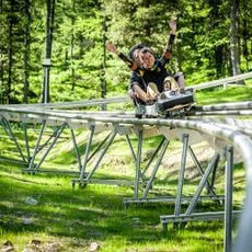
Luge du Caribou
6 km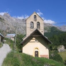
Église Saint-Jean-Baptiste de Fouillouse
5.5 km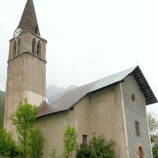
Église de la Transfiguration de Grande-Serenne
3.5 km
Cascade de Razis
6.7 km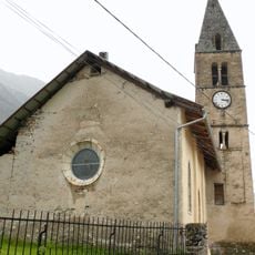
Église Saint-Thomas de Tournoux
4.3 km
La Grande Combe
5.9 km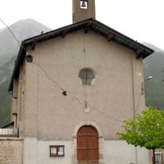
Chapelle Saint-Jean-Baptiste de Saint-Paul-sur-Ubaye
1.8 km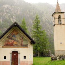
Chapelle Saint-Antoine de Saint-Antoine
5.3 km
Tête de Paneyron
3 km
Scenic viewpoint
6.3 km
Scenic viewpoint
4.1 km
Scenic viewpoint
2.4 km
Scenic viewpoint
6.6 km
Practice du Golf
5.9 km
Wayside shrine
5.5 km
Fortin du Serre-de-Laut
6.2 km
Batterie des Corres
6.2 km
Poste Extérieur
5.9 km
Pont du Bérard
6 km
Bouchet Marcel
6.4 km
Croix Rocher Pointu
1.5 km
Memorial, commemorative plaque
2.9 kmReviews
Visited this place? Tap the stars to rate it and share your experience / photos with the community! Try now! You can cancel it anytime.
Discover hidden gems everywhere you go!
From secret cafés to breathtaking viewpoints, skip the crowded tourist spots and find places that match your style. Our app makes it easy with voice search, smart filtering, route optimization, and insider tips from travelers worldwide. Download now for the complete mobile experience.

A unique approach to discovering new places❞
— Le Figaro
All the places worth exploring❞
— France Info
A tailor-made excursion in just a few clicks❞
— 20 Minutes