Hermann-Löns-Denkmal
Location: Bad Godesberg
Location: Bonn
GPS coordinates: 50.67605,7.12647
Latest update: November 20, 2025 01:20
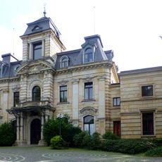
Stella Rheni
1.6 km
Russian Consulate, Bonn
1.1 km
Gut Marienforst
834 m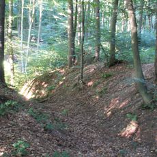
Ringwall Venne
792 m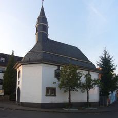
Pestkapelle (Schweinheim)
1.3 km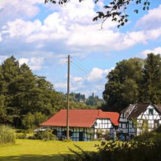
Wattendorfer Mühle
1.6 km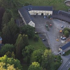
Marienforster Straße 52
806 m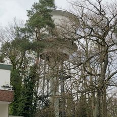
Wasserturm (Schweinheim)
1 km
Max-Franz-Straße 4
1.6 km
LSG-Godesberger Bach und Zufluesse
1.2 km
Waldburgstraße 48
1.2 km
Waldburgstraße 46
1.2 km
Max-Franz-Straße 6
1.6 km
Max-Franz-Straße 8
1.6 km
Max-Franz-Straße 2
1.6 km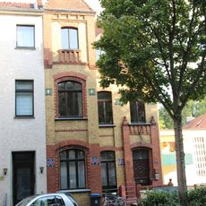
Burgstraße 97
1.6 km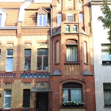
Burgstraße 93
1.6 km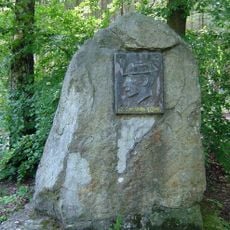
Hermann Löns
25 m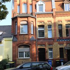
Burgstraße 91
1.6 km
Birgittendoppelkloster Marienforst, früher Augustinerchorfrauenstift Kottenforst, Bonn/Bad Godesberg
834 m
Freier Weg 6
1.1 km
Schweinheim "Wutz-Wutz"
1.2 km
Installation artwork, Work of art
698 m
Scenic viewpoint
1.6 km
Scenic viewpoint
1.6 km
Venner Kreuz
949 m
Memorial
1.6 km
Wayside cross
1.4 kmReviews
Visited this place? Tap the stars to rate it and share your experience / photos with the community! Try now! You can cancel it anytime.
Discover hidden gems everywhere you go!
From secret cafés to breathtaking viewpoints, skip the crowded tourist spots and find places that match your style. Our app makes it easy with voice search, smart filtering, route optimization, and insider tips from travelers worldwide. Download now for the complete mobile experience.

A unique approach to discovering new places❞
— Le Figaro
All the places worth exploring❞
— France Info
A tailor-made excursion in just a few clicks❞
— 20 Minutes