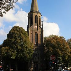
Bad Godesberg, Administrative district in Bonn, Germany
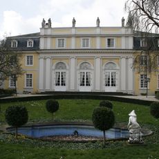
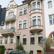
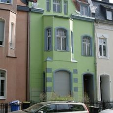
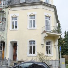
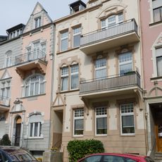
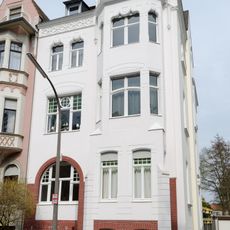
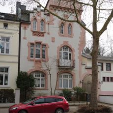
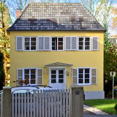
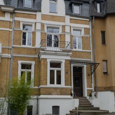
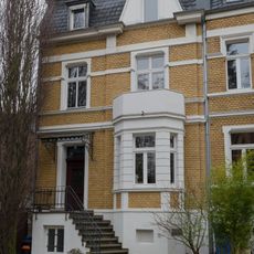
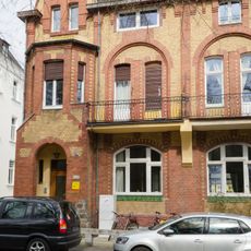
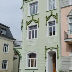
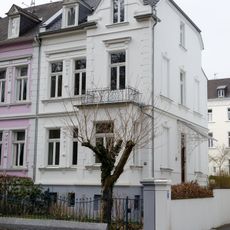
Bad Godesberg is an administrative district in southern Bonn, stretching from the Rhine riverbank through residential quarters up to wooded hills. Buildings range from 19th-century villas with large gardens to postwar constructions and contemporary housing complexes.
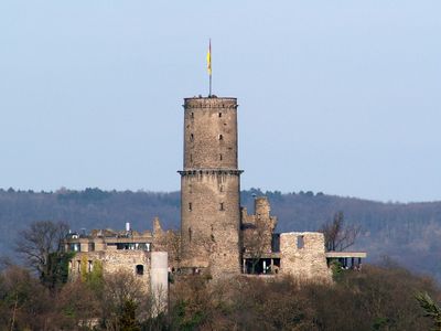
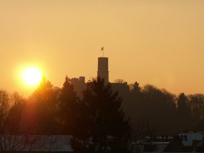
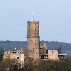
The Godesburg fortress, built in 1210, gave the settlement its name before being destroyed in 1583 during a conflict between rival archbishops of Cologne. The town developed into a spa resort in the 19th century thanks to its mineral springs, earning official recognition as a spa town in 1925.
Locals regularly visit the Draitsch and Kurfürsten mineral springs, bringing containers to collect the mineral-rich water for home use and treating the taps as informal meeting points in daily life. You often see residents chatting at these fountains, maintaining a tradition passed down through generations.
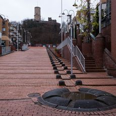
The district is easy to explore on foot since many sights and parks connect through pathways along the Rhine and through residential streets. Visitors planning to climb to the Godesburg ruins on the hilltop should wear comfortable shoes, as the ascent follows stairs and steep paths.
The castle ruins atop the Godesberg hill offer a full view over the Rhine valley, the Siebengebirge range, and on clear days even as far as Cologne, without charging admission. Inside the preserved cellar vaults, visitors can still see the massive 13th-century construction methods, while outside the tower remains visible as a landmark across the region.
The community of curious travelers
AroundUs brings together thousands of curated places, local tips, and hidden gems, enriched daily by 60,000 contributors worldwide.