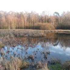
Historische Wümmequerung
Location: Schneverdingen
Accessibility: Accessibile in sedia a rotelle
GPS coordinates: 53.19467,9.77416
Latest update: November 22, 2025 17:44
Obere Wümmeniederung
3.8 km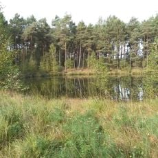
Heidemoor bei Ottermoor
820 m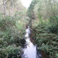
Oberes Fintautal
2.9 km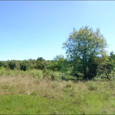
Finteler Wacholderlandschaft
4.6 km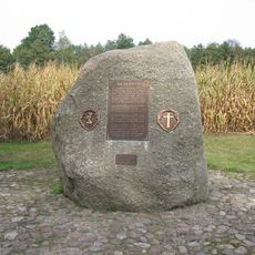
Hauenstein
1.5 km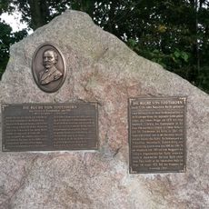
Die Buche von Todtshorn
2.8 km
Eggersmühlen watermill
3.3 km
Mittelpunktstein der Gemeinde Otter
4.2 km
Todtshorner Berg
2.8 km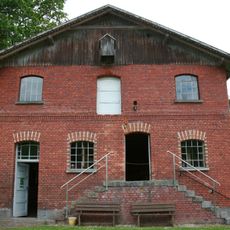
Eggersmühlen
3.3 km
Fischbachstraße 39
2.4 km
Vor den Höfen 18
2 km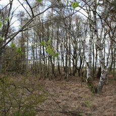
Natural monument Heidekreis Gagelbestand bei Wesseloh
3.9 km
Wümmewiesen
3.4 km
Kriegsgräberstätte Todtshorn
2.3 km
Weide Gründe
3.7 km
Namensstein Wintermoor
2 km
Der Schnuckenhof
2 km
Historisches Backhaus
2.4 km
Kriegerdenkmal Wesseloh
2.6 km
Kutschfahrten Lührs
3.5 km
Straßenbau in Horst
4.6 km
Schützt unsere Bodendenkmale
2.5 km
Archaeological site
2.7 km
Archaeological site
2.7 km
Archaeological site
2.8 km
Archaeological site
2.8 km
Archaeological site
4.1 kmReviews
Visited this place? Tap the stars to rate it and share your experience / photos with the community! Try now! You can cancel it anytime.
Discover hidden gems everywhere you go!
From secret cafés to breathtaking viewpoints, skip the crowded tourist spots and find places that match your style. Our app makes it easy with voice search, smart filtering, route optimization, and insider tips from travelers worldwide. Download now for the complete mobile experience.

A unique approach to discovering new places❞
— Le Figaro
All the places worth exploring❞
— France Info
A tailor-made excursion in just a few clicks❞
— 20 Minutes