Enable Location

We need your location to show you interesting places around you

Discover nearby places

Find interesting locations and hidden gems around you

Precise directions

Get accurate directions and distances to places

Your location is never shared with other users. It's only used when you tap the location button.

Schneverdingen

Log in to your account

Start exploring — it's free

Trusted by 62,849 travelers worldwide

Continue with Google
Continue with Apple
or

We will send you a code to connect

By continuing, you accept our Terms and Conditions and our Privacy Policy

Check your inbox

We've sent a pincode in your inbox. Please enter the code below.

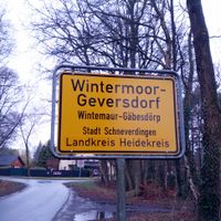
Schneverdingen, Administrative municipality in Lower Saxony, Germany.

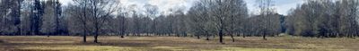
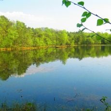
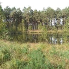
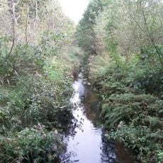
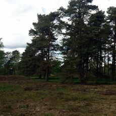
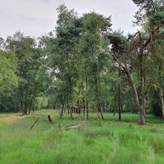
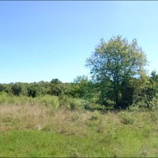
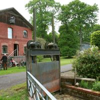
Schneverdingen is an administrative municipality in Lower Saxony comprising ten separate districts that together form a larger settlement area in northern Germany. The town spreads across a landscape dominated by heathland and forests.

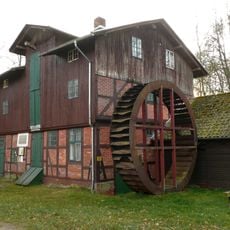
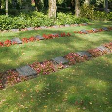
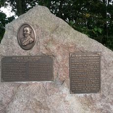
The settlement appears in written records from 1231 and remained under the rule of the Prince-Bishopric of Verden for centuries. Official town status arrived only in 1976 following administrative changes.

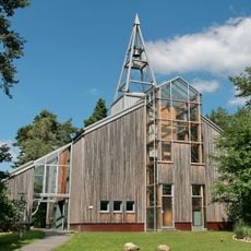
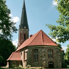
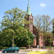
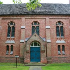
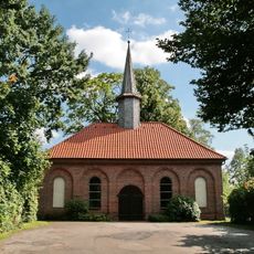
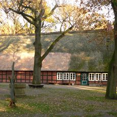
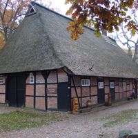
The Protestant church with its distinctive tower has shaped the town's appearance for centuries and remains a gathering place for worship and community events. It reflects the faith and traditions that have defined local life over generations.

The town sits in the heart of the Lüneburg Heath and is easily reached by car, though exploring it is best done on foot or by bike. Those wanting to experience the surroundings should allow time for walks through the landscape.

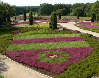
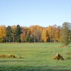
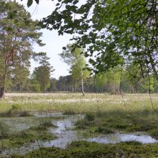
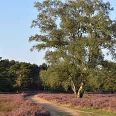
A park displays more than 200 varieties of heather plants, showing the natural flora of the region and offering visitors a rare look at the landscape's characteristic vegetation. This collection was intentionally created to represent and protect the local heathland environment.

The community of curious travelers

AroundUs brings together thousands of curated places, local tips, and hidden gems, enriched daily by 60,000 contributors worldwide.

Start exploring
Location
Elevation above the sea
96 m
Shares border with
Sittensen, Soltau
GPS coordinates
53.11667,9.80000
Latest update
December 19, 2025 22:31
« Schneverdingen - Administrative municipality in Lower Saxony, Germany » is provided by Around Us (aroundus.com). Images and texts are derived from Wikimedia project under a Creative Commons license. You are allowed to copy, distribute, and modify copies of this page, under the conditions set by the license, as long as this note is clearly visible.

Discover hidden gems everywhere you go!

From secret cafés to breathtaking viewpoints, skip the crowded tourist spots and find places that match your style. Our app makes it easy with voice search, smart filtering, route optimization, and insider tips from travelers worldwide. Download now for the complete mobile experience.

Around Us App Screenshot

A unique approach to discovering new places

Le Figaro

All the places worth exploring

France Info

A tailor-made excursion in just a few clicks

20 Minutes

Around Us
Travel Guide & Maps
Download

Send to your phone

QR Code
1

Open the camera app on your mobile.

2

Point at the QR code with your camera. A notification will appear.

3

Tap the notification to open the link.