Kriegerdenkmal
Location: Bad Honnef
Accessibility: Wheelchair inaccessible
GPS coordinates: 50.63756,7.23016
Latest update: November 20, 2025 01:23
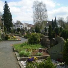
Alter Friedhof Bad Honnef
467 m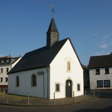
Martinskapelle (Selhof)
441 m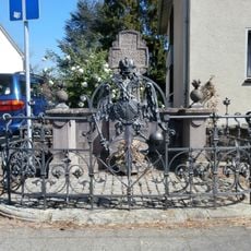
Österreicher Kreuz
574 m
Bischofshof
488 m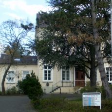
Hauptstraße 107
616 m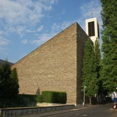
St. Martin
129 m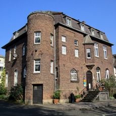
Mülheimer Straße 15
707 m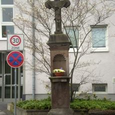
Wegekreuz Linzer Straße/Karlstraße
261 m
Mülheimer Straße 32
626 m
Kirchstraße 24
656 m
Kirchstraße 20
673 m
Wayside cross
607 m
Eva Sichler
559 m
Wayside cross
566 m
Memorial
496 m
Blondine Levy
645 m
Emil Löwenberg
714 m
Erich Levy
645 m
Jakob Levy
645 m
Otto Löwenberg
714 m
Pestkreuz
327 m
Rosa Levy
645 m
Rosa Löwenberg
713 m
Ruth Löwenberg
713 m
Catholic church building, wayside cross, Christianity
390 m
Wayside cross, Christianity, Catholic church building
634 m
Wayside cross, Christianity, Catholic church building
262 m
Synagoge Bad Honnef
553 mReviews
Visited this place? Tap the stars to rate it and share your experience / photos with the community! Try now! You can cancel it anytime.
Discover hidden gems everywhere you go!
From secret cafés to breathtaking viewpoints, skip the crowded tourist spots and find places that match your style. Our app makes it easy with voice search, smart filtering, route optimization, and insider tips from travelers worldwide. Download now for the complete mobile experience.

A unique approach to discovering new places❞
— Le Figaro
All the places worth exploring❞
— France Info
A tailor-made excursion in just a few clicks❞
— 20 Minutes