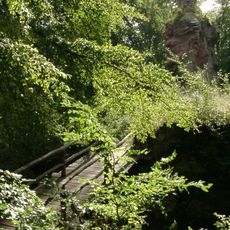
Keltenhügel
Location: Kaiserslautern
Accessibility: Wheelchair inaccessible
GPS coordinates: 49.45548,7.84904
Latest update: October 11, 2024 03:34
Burg Beilstein
2.5 km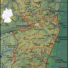
Queitersberg
346 m
822d Tactical Missile Squadron
1.7 km
Burg Breidenborn
1.4 km
Kurhaus Eselsfürth
2 km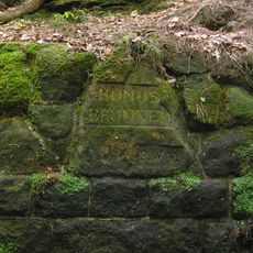
Ritterstein 166 "Hundsbrunnen"
2.1 km
Ritterstein 168 "An der dicken Eiche"
2.3 km
Langenberg
970 m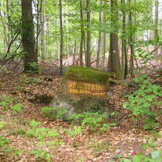
Ritterstein 162 "Beilstein"
2.1 km
Totenköpfchen
2.1 km
Memorial
2.5 km
Wayside cross
1.6 km
Hier stand die Ostertalbrücke
2 km
Ritterstein 167 "Weidsohl"
982 m
Wayside cross
947 m
Weg erbaut 1957 durch J. T. Sampson
878 m
Bench, scenic viewpoint
481 m
Das weiße Fräulein
2.4 km
Fisch Barbarossahof
2 km
Archaeological site, megalith, menhir
2.5 km
Torstensonkreuz
2.5 km
Archaeological site
2.5 km
Memorial
2.5 km
Archaeological site
2.5 km
Wittelsbacher Stein
2.5 km
Keltenhügel
458 m
Tourist attraction, archaeological site
2.5 km
Bench, scenic viewpoint
2.6 kmReviews
Visited this place? Tap the stars to rate it and share your experience / photos with the community! Try now! You can cancel it anytime.
Discover hidden gems everywhere you go!
From secret cafés to breathtaking viewpoints, skip the crowded tourist spots and find places that match your style. Our app makes it easy with voice search, smart filtering, route optimization, and insider tips from travelers worldwide. Download now for the complete mobile experience.

A unique approach to discovering new places❞
— Le Figaro
All the places worth exploring❞
— France Info
A tailor-made excursion in just a few clicks❞
— 20 Minutes