Queitersberg, Mountain peak in Palatine Forest, Germany
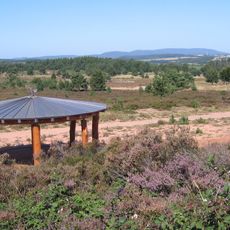
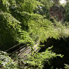
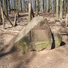
The Queitersberg is a 394-metre hill in the northern Palatine Forest, on the municipal forest of Kaiserslautern between the city edge and Hochspeyer. About 100 metres north of the main summit lies a lower, plateau-like subpeak with a bunter sandstone outcrop, the Felsplatt, registered as a natural monument.
The Queitersberg lies on the forested municipal land of Kaiserslautern, between the city edge 500 metres west and Hochspeyer 2 km southeast. Its name appears in several spellings, including Quaidersberg, Quaitersberg and Queidersberg. The sandstone outcrop on the northern subpeak is recorded as the natural monument Felsplatt.
A blue-and-yellow striped bar marks the hiking trail along the northern and eastern flanks of the Queitersberg. In the hollow between the hill and Hochspeyer stands the Hundsbrunnen spring, marked as Ritterstein 166, one of the numbered stone markers of the Palatine Forest.
The Queitersberg lies in Kaiserslautern's municipal forest, with the city's built-up edge 500 metres west of the summit and Hochspeyer 2 km southeast. A car park named Quaidersberg sits on the southern side of the A6 between junctions 16b Kaiserslautern-Ost and 17 Enkenbach-Alsenborn, in the direction of Mannheim. A hiking trail marked with a blue-yellow bar runs along the hill's northern and eastern flanks.
The summit marks a natural watershed that divides water flow between the Lauter River and Hochspeyerbach, feeding into different river systems. This geographical role makes the peak an interesting point for understanding local hydrology.
The community of curious travelers
AroundUs brings together thousands of curated places, local tips, and hidden gems, enriched daily by 94,422 contributors worldwide.