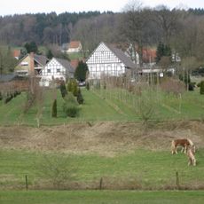
Mentruper Wetterstein
Location: Obermark
Location: Hagen am Teutoburger Wald
GPS coordinates: 52.18056,7.99235
Latest update: November 21, 2025 06:31
Urberg
2.5 km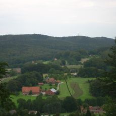
Grafensundern
2.9 km
Liener Berg
2.2 km
Urberg
1.9 km
Borg-Berg
2.1 km
Kerbtal am Mührenknapp
3.3 km
LSG-Holperdorp
1.3 km
Assmanns Bachtal
3.1 km
LSG-Suedlicher Rand Lienener Osning
3.1 km
LSG-Lienener Osning (FFH-Gebiet)
2.1 km
Heimatmuseum Hagen a.T.W.
2.1 km
Kahler Berg
2.7 km
Teufelsquelle
1.5 km
Scenic viewpoint
3.1 km
Koenigsbuche
2.3 km
Wassertretstelle
1.1 km
Grafentafel
2.9 km
Duvensteine
1.9 km
Steinbruch
2.9 km
Wassertretstelle
2 km
Megalithgrab am Engelbusch
3.1 km
Catholic church building, wayside cross, Christianity
2.2 km
Alex Plogmann
2 km
Catholic church building, wayside cross, Christianity
415 m
Catholic church building, wayside cross, Christianity
2.3 km
Hofkreuz Gretzmann
3 km
Wayside cross
3.2 km
Hermann Wesseler
2.4 kmReviews
Visited this place? Tap the stars to rate it and share your experience / photos with the community! Try now! You can cancel it anytime.
Discover hidden gems everywhere you go!
From secret cafés to breathtaking viewpoints, skip the crowded tourist spots and find places that match your style. Our app makes it easy with voice search, smart filtering, route optimization, and insider tips from travelers worldwide. Download now for the complete mobile experience.

A unique approach to discovering new places❞
— Le Figaro
All the places worth exploring❞
— France Info
A tailor-made excursion in just a few clicks❞
— 20 Minutes