Grafensundern, Summit in Iburger Wald, Germany
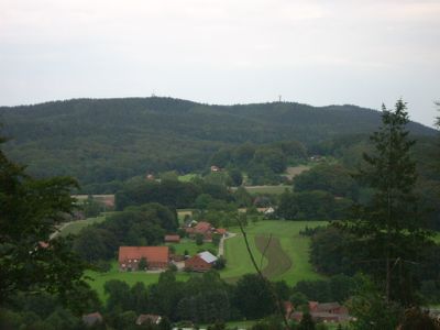
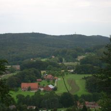
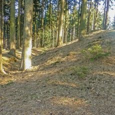
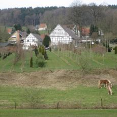
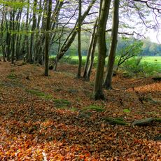
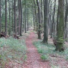
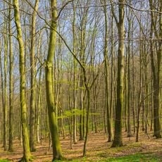
Grafensundern is a mountain rising to about 315 meters within the Teutoburger Wald region of Lower Saxony and features sandstone rock formations. The terrain is marked by marked hiking paths like Hermann-Wesseler-Weg and Grafensundernweg that cross through the area.
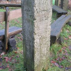
The area contains boundary markers from 1732 that show historical divisions of land ownership between religious institutions and noble families. These markers document the property divisions and territorial arrangements that once defined the landscape.
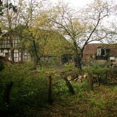
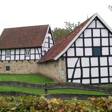
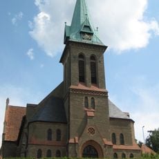
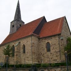
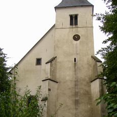
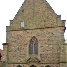
The Heiligenhäuschen chapel north of Landesstraße 96 holds a wooden statue of Mary that reflects the local community's spiritual connection to this place. This small structure shows how faith has been woven into the landscape for generations.
Multiple marked hiking trails connect across the mountain and offer routes suitable for different hiking abilities. Visitors should come prepared for uneven terrain with sandstone rocks and wear appropriate footwear.
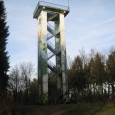
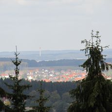
A communication tower built in 1965 stands near the summit and rises 60 meters high. The structure supports digital radio and amateur radio services and is visible from many points on the mountain.
The community of curious travelers
AroundUs brings together thousands of curated places, local tips, and hidden gems, enriched daily by 60,000 contributors worldwide.