Bur
Location: Münstermaifeld
Accessibility: Wheelchair accessible
GPS coordinates: 50.24571,7.35946
Latest update: November 20, 2025 01:18
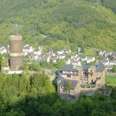
Bischofstein Castle
4 km
Stiftskirche Münstermaifeld
317 m
Marstall (Münstermaifeld)
282 m
Heimatmuseum Münstermaifeld
254 m
Synagoge Münstermaifeld
145 m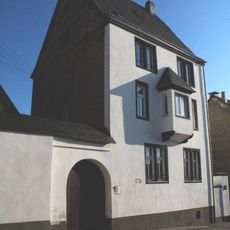
Schönecker Burg
161 m
Jüdischer Friedhof Mertloch
3.9 km
Jüdischer Friedhof Wierschem
3.3 km
Heilig-Geist-Spital
227 m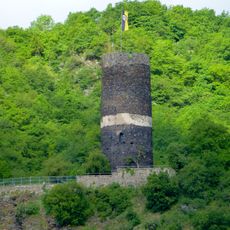
Bergfried
3.9 km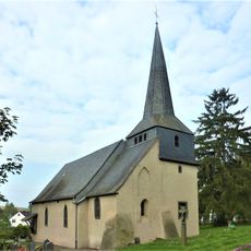
St Apollonia's Church
2.2 km
Scenic viewpoint
701 m
Familiengräber Weckbecker
368 m
Scenic viewpoint
3.7 km
Eulenturm
106 m
Scenic viewpoint
3.8 km
Wayside cross
3.5 km
Wayside shrine
3.2 km
Wayside cross
387 m
Bildstock
1.6 km
Erlebnisbad Münstermaifeld
114 m
Wayside cross
2.6 km
Christianity, Catholic church building, wayside cross
3 km
Christianity, Catholic church building, wayside cross
2.9 km
Wayside shrine
3.8 km
Wayside cross
1.6 km
Wayside cross
2.1 km
Wayside cross
1.3 kmReviews
Visited this place? Tap the stars to rate it and share your experience / photos with the community! Try now! You can cancel it anytime.
Discover hidden gems everywhere you go!
From secret cafés to breathtaking viewpoints, skip the crowded tourist spots and find places that match your style. Our app makes it easy with voice search, smart filtering, route optimization, and insider tips from travelers worldwide. Download now for the complete mobile experience.

A unique approach to discovering new places❞
— Le Figaro
All the places worth exploring❞
— France Info
A tailor-made excursion in just a few clicks❞
— 20 Minutes