Alte Kelter
Location: Landau in der Pfalz
GPS coordinates: 49.18242,8.07699
Latest update: November 23, 2025 21:39
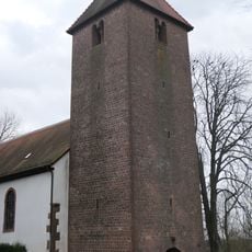
Protestantische Kirche
485 m
Kleine Kalmit
1.5 km
Taeler Bruehl- und Schleidgraben
1.8 km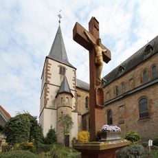
St. Georg (Arzheim)
1.4 km
Birnbachtal West und Ost
754 m
Scenic viewpoint
1.5 km
Wayside cross
1.5 km
Scenic viewpoint
1.2 km
Scenic viewpoint
2.1 km
Scenic viewpoint
343 m
Scenic viewpoint, bench
1.5 km
Scenic viewpoint
713 m
Historischer Weinberg
1.7 km
Scenic viewpoint
1.7 km
Alte Waschbank
1.7 km
Wayside cross
2.1 km
Statue, Work of art
1.3 km
Untergegangenes Dorf Servlingen
2 km
Wayside cross
1.9 km
Wayside cross
1.5 km
Wayside cross
1.3 km
Napoleonsbank 1811
1.3 km
Memorial
2 km
Commemorative plaque, memorial
1.9 km
Memorial, commemorative plaque
1.9 km
Fürstengrab
523 m
Fürstengrab
521 m
Wayside cross
1.4 kmReviews
Visited this place? Tap the stars to rate it and share your experience / photos with the community! Try now! You can cancel it anytime.
Discover hidden gems everywhere you go!
From secret cafés to breathtaking viewpoints, skip the crowded tourist spots and find places that match your style. Our app makes it easy with voice search, smart filtering, route optimization, and insider tips from travelers worldwide. Download now for the complete mobile experience.

A unique approach to discovering new places❞
— Le Figaro
All the places worth exploring❞
— France Info
A tailor-made excursion in just a few clicks❞
— 20 Minutes