
Kamow Ka-26
Location: Borkheide
Reference: D-HOAJ
Subject: Kamov Ka-26
GPS coordinates: 52.23080,12.85076
Latest update: November 16, 2025 11:13
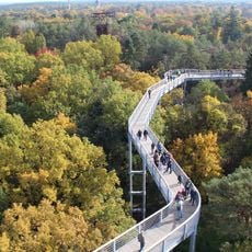
Baumkronenpfad Beelitz-Heilstätten
5.8 km
Fläming-Kaserne
4.4 km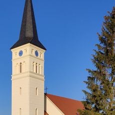
Village church Schäpe
4.1 km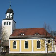
Dorfkirche Alt Bork
4.8 km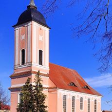
Dorfkirche (Reesdorf)
5 km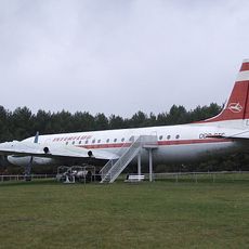
Ilyushin IL-18
36 m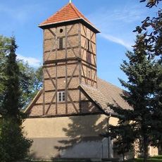
Neuendorf church
4.1 km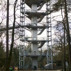
Aussichtsturm
5.9 km
Hackenheide
4.8 km
Naturdenkmal Eiche in Schäpe
4.1 km
Naturdenkmal Kiefer
3.2 km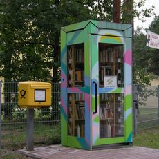
FRIDA – öffentlicher Büchertausch
2.6 km
Naturdenkmal Eiche
4.1 km
Hans-Grade-Museum
37 m
Naturdenkmal Ulme
4.1 km
Naturdenkmal Maulbeerbaum
4.8 km
Naturdenkmal Ulme
4.7 km
Naturdenkmal zwei Maulbeerbäume
3.8 km
Scenic viewpoint
4.6 km
Waldbad Borkheide
847 m
Waldemar
5.6 km
Zlin Z-37
36 m
Barfußpark Beelitz-Heilstätten
5.8 km
Kirchturm
4.8 km
Monument featuring aircraft, aircraft model
5.1 km
Gedenkstein Hans Grade
782 m
Stein der 100.000
3.4 km
Memorial, war memorial
5 kmReviews
Visited this place? Tap the stars to rate it and share your experience / photos with the community! Try now! You can cancel it anytime.
Discover hidden gems everywhere you go!
From secret cafés to breathtaking viewpoints, skip the crowded tourist spots and find places that match your style. Our app makes it easy with voice search, smart filtering, route optimization, and insider tips from travelers worldwide. Download now for the complete mobile experience.

A unique approach to discovering new places❞
— Le Figaro
All the places worth exploring❞
— France Info
A tailor-made excursion in just a few clicks❞
— 20 Minutes