Altländer Prunkpforte
Location: Hollern-Twielenfleth
GPS coordinates: 53.61054,9.53912
Latest update: November 23, 2025 08:41
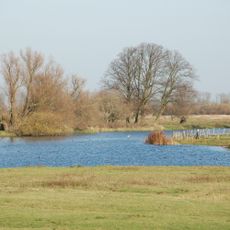
Haseldorfer Binnenelbe mit Elbvorland
2.8 km
Stade Technology and Transport Museum
4 km
Benediktinerabtei St. Maria, Stade
3.9 km
Gut Brook
1.1 km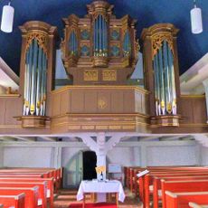
Organ of St. Mauritius (Hollern)
2.5 km
Niedersächsisches Landesarchiv - Staatsarchiv Stade
3.9 km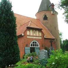
St. Mauritius
2.5 km
Bandreißerkate (Haseldorf)
4.1 km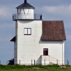
Julssand Leuchtturm
1.7 km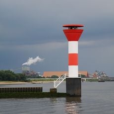
Lower range light Bützflethersand
2.5 km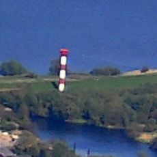
Bützflethersand range rear light
3.1 km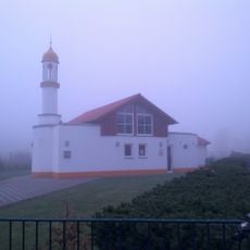
Bait-ul-Karim-Moschee
3.3 km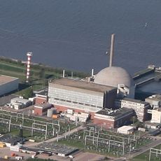
Stadersand range rear light
1.4 km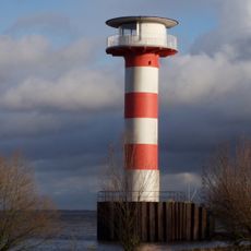
Stadersand range front light
2.1 km
Lühesand
4.1 km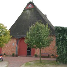
Kate „H. Lüchau“ („Bandreißerkate“ Dorfgemeinschaftshaus und Museum)
4.1 km
Sculpture, Work of art
4 km
Altländer Prunkpforte
1.5 km
Altländer Prunkpforte
2.6 km
Metallschiff
4 km
Hochwasserpfahl
3.7 km
Hetlinger Schanzenturm
3.3 km
Scenic viewpoint
1.6 km
Alter Leuchtturm
1.3 km
1675/76 Twielenflether Schwedenschanze
1.3 km
Den Gefallenen im Weltkrieg
4 km
Machine
4 km
Machine
4 kmReviews
Visited this place? Tap the stars to rate it and share your experience / photos with the community! Try now! You can cancel it anytime.
Discover hidden gems everywhere you go!
From secret cafés to breathtaking viewpoints, skip the crowded tourist spots and find places that match your style. Our app makes it easy with voice search, smart filtering, route optimization, and insider tips from travelers worldwide. Download now for the complete mobile experience.

A unique approach to discovering new places❞
— Le Figaro
All the places worth exploring❞
— France Info
A tailor-made excursion in just a few clicks❞
— 20 Minutes