Basing Lime Pits
Location: Basingstoke and Deane
GPS coordinates: 51.26415,-1.06248
Latest update: November 21, 2025 21:11
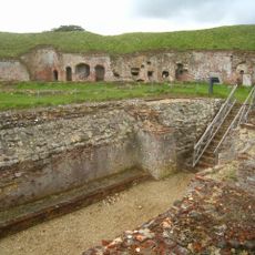
Basing House
950 m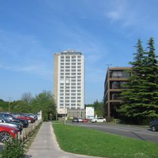
Fanum House
825 m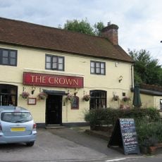
The Crown Public House
1.1 km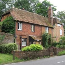
Mews Cottage Turret Cottage
986 m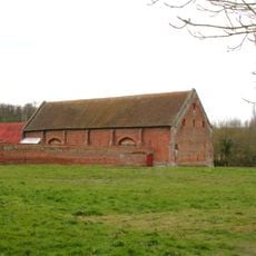
Tithe Barn
941 m
Turret And Walls In The Garden Of Turret Cottage
966 m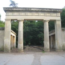
Lodges And Gateway To Hatchwood (New) Park*
869 m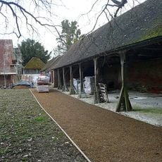
Cartshed And Outbuildings
900 m
Milestone On A30/A303 At Approximately Ngr 649 520
658 m
7, The Street
1 km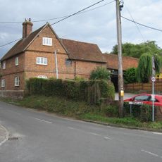
Malthouse
1.1 km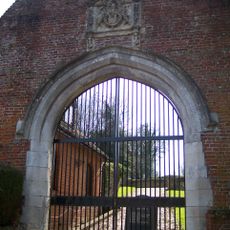
Gateway
1 km
Front Wall Of Mews Cottage
1 km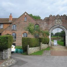
Wall And House (No.6 The Street) Attached To The Gateway On Its East Side*
1 km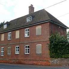
Grange Farmhouse
896 m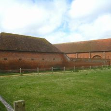
Stable And Loft
934 m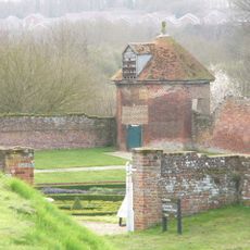
Dovecote
775 m
Roadside Wall From Grange Farm To Sopers Row
941 m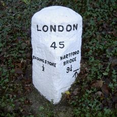
Milestone, Eastrop Park
652 m
Wall, From West Side Of Crown Public House, North Of Park Hill, To Rear Of No.6
1 km
Garden wall, Basing House
871 m
3, The Street
1 km
Basing House
801 m
Garden House
869 m
Canal Bridge
1 km
Mountbatten House (Formerly Gateway House), Basing View
926 m
Granary
895 m
Bothy
825 mReviews
Visited this place? Tap the stars to rate it and share your experience / photos with the community! Try now! You can cancel it anytime.
Discover hidden gems everywhere you go!
From secret cafés to breathtaking viewpoints, skip the crowded tourist spots and find places that match your style. Our app makes it easy with voice search, smart filtering, route optimization, and insider tips from travelers worldwide. Download now for the complete mobile experience.

A unique approach to discovering new places❞
— Le Figaro
All the places worth exploring❞
— France Info
A tailor-made excursion in just a few clicks❞
— 20 Minutes