
Crooksbury Hill Trig Point
Location: Waverley
Accessibility: Non accessibile in sedia a rotelle
GPS coordinates: 51.20603,-0.74365
Latest update: May 9, 2025 08:58
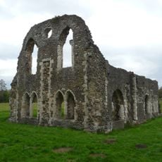
Waverley Abbey
1.2 km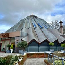
Mubarak Mosque
1.8 km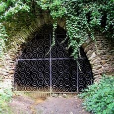
Mother Ludlam's Cave
808 m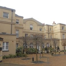
Moor Park
1.7 km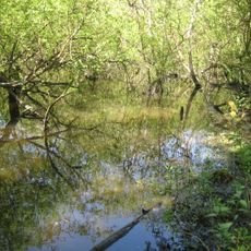
Moor Park SSSI, Surrey
794 m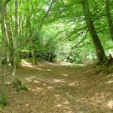
Runfold Wood
1.3 km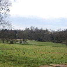
Moor Park
1.7 km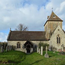
Church of St Laurence
2.7 km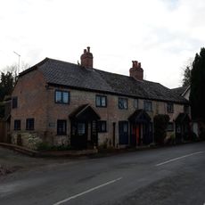
Seale Lodge Cottages
2.6 km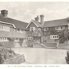
Crooksbury House, Fig Tree Court And West Wing
569 m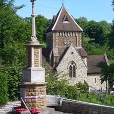
Seale War Memorial
2.6 km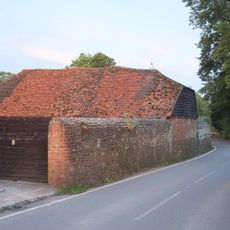
Tilford House
2.5 km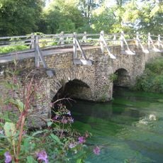
Bridge Over The River Wey To The North West Corner Of Tilford Green
2.5 km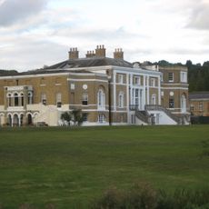
Waverley Abbey House
1.1 km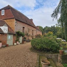
High Mill
2.5 km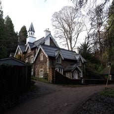
Firbank
1.9 km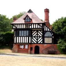
Tilford Institute
2.6 km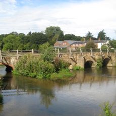
Bridge Over The River Wey To North East Side Of Green
2.6 km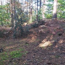
Soldier's Ring hillfort
297 m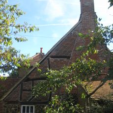
Hewetts Farmhouse
2.1 km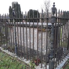
Paine Chest Tomb 6 Yards South West Of Corner Of Church Of St Laurence
2.7 km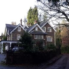
Turner's
1.8 km
Garden Wall To Front Of Turner's
1.8 km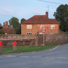
Tilford House Farm House
2.5 km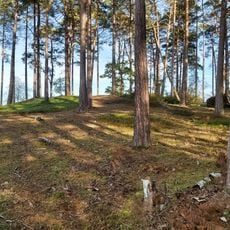
Bowl barrow 180m south east of Forest Cottage
2.5 km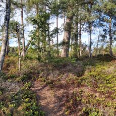
Bowl barrow 100m east of Forest Cottage
2.5 km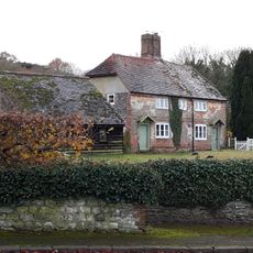
Manor Farm Cottages
2.6 km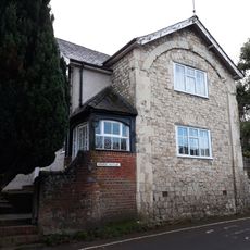
Stable Cottage
2.6 kmReviews
Visited this place? Tap the stars to rate it and share your experience / photos with the community! Try now! You can cancel it anytime.
Discover hidden gems everywhere you go!
From secret cafés to breathtaking viewpoints, skip the crowded tourist spots and find places that match your style. Our app makes it easy with voice search, smart filtering, route optimization, and insider tips from travelers worldwide. Download now for the complete mobile experience.

A unique approach to discovering new places❞
— Le Figaro
All the places worth exploring❞
— France Info
A tailor-made excursion in just a few clicks❞
— 20 Minutes