The gobbins path
Location: Northern Ireland / Tuaisceart Éireann
GPS coordinates: 54.80083,-5.69445
Latest update: November 24, 2025 10:03
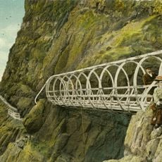
Gobbins path
286 m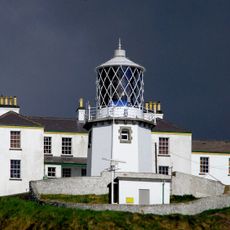
Blackhead Lighthouse
3.8 km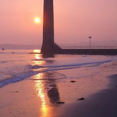
Chaine Memorial
8.9 km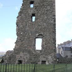
Olderfleet Castle
8.8 km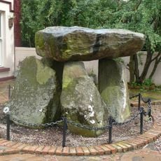
Ballylumford Dolmen
6.8 km
Whitehead Railway Museum
5 km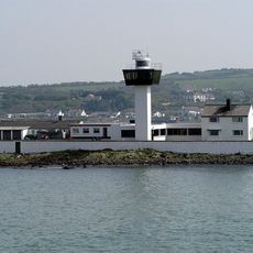
Ferris Point Lighthouse
8.3 km
Castle Chichester
5 km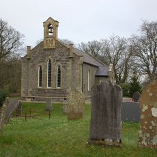
Raloo Church Of Ireland Parish Church Glenoe Larne Co Antrim
8.9 km
Castle Dobbs
7.5 km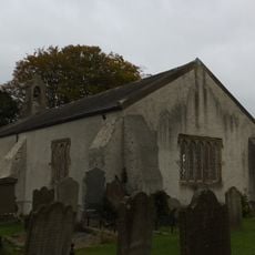
St Johnís C. Of I. Church Low Road Ballyharry Islandmagee Larne Co Antrim
2.1 km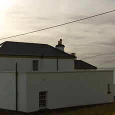
Former Lighthouse Keepers Houses At Blackhead Lighthouse Mccrea's Brae Whitehead Co Antrim Bt38 9nz
3.8 km
McNeill Theatre
9.2 km
Browns bay walk
7.4 km
Cinema
5.4 km
Larne Golf Club
8.1 km
Whitehead Golf Club
3.9 km
Bentra Golf Course
4.7 km
Magheramorne estate
5 km
Gobbins Visitor Centre
2.4 km
Larne Harbour Omniplex
8.9 km
Glenoe Waterfall
8.8 km
Queen Elizabeth’s 60 Years Crown
9.5 km
Henry McNeill's Mural by Larne Renovation Generation
9.5 km
The Stern
8.5 km
The Friends' Goodwill Memorial
9.1 km
Scenic viewpoint
264 m
Scenic viewpoint
5 kmReviews
Visited this place? Tap the stars to rate it and share your experience / photos with the community! Try now! You can cancel it anytime.
Discover hidden gems everywhere you go!
From secret cafés to breathtaking viewpoints, skip the crowded tourist spots and find places that match your style. Our app makes it easy with voice search, smart filtering, route optimization, and insider tips from travelers worldwide. Download now for the complete mobile experience.

A unique approach to discovering new places❞
— Le Figaro
All the places worth exploring❞
— France Info
A tailor-made excursion in just a few clicks❞
— 20 Minutes