
Crichton Tower
Location: Fermanagh and Omagh District
GPS coordinates: 54.15878,-7.44649
Latest update: October 29, 2025 00:30

Crom Castle
418 m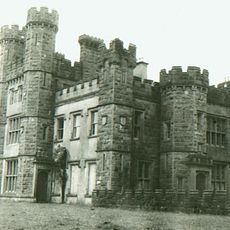
Castle Saunderson
6.7 km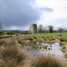
Crom Estate
804 m
Knockninny
8.3 km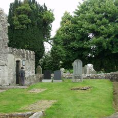
Aghalurcher Monastery
8.4 km
Share Discovery Village
6.3 km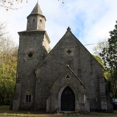
Quivvy Church
6.9 km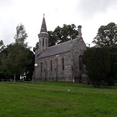
Castle Saunderson Church
7.3 km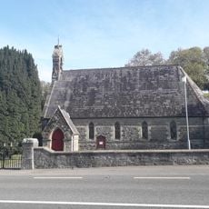
St Andrew’s Church
10.1 km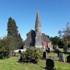
St John's Church
10 km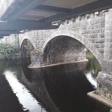
Ballyconnell Bridge
10.1 km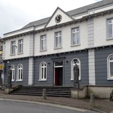
Belturbet Town Hall
6.5 km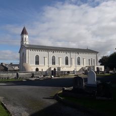
Church of the Immaculate Conception
6.6 km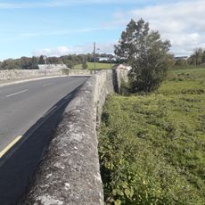
Creeny Bridge
6.1 km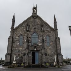
St Mary's Church
7 km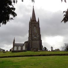
Belturbet Church of Ireland
6.6 km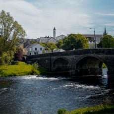
Erne Bridge
6.3 km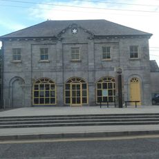
Ballyconnell Market House
10 km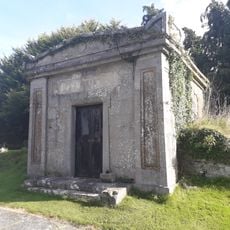
Knipe Mausoleum
6.6 km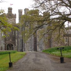
Crom Castle Newtownbutler Co. Fermanagh Bt92 8ap
1.1 km
Holy Trinity C Of I Parish Church Crom Derrylin Enniskillen Co.fermanagh
883 m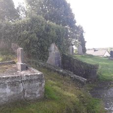
Maudsley Mausoleum
6.7 km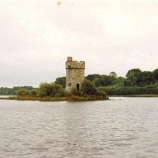
Crichton Tower
27 m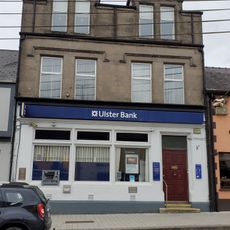
Ulster Bank
10 km
Belturbet Railway Station Visitor Centre
6.8 km
Peace For All
5 km
Work of art, sculpture
10 km
Work of art, statue
9.1 kmReviews
Visited this place? Tap the stars to rate it and share your experience / photos with the community! Try now! You can cancel it anytime.
Discover hidden gems everywhere you go!
From secret cafés to breathtaking viewpoints, skip the crowded tourist spots and find places that match your style. Our app makes it easy with voice search, smart filtering, route optimization, and insider tips from travelers worldwide. Download now for the complete mobile experience.

A unique approach to discovering new places❞
— Le Figaro
All the places worth exploring❞
— France Info
A tailor-made excursion in just a few clicks❞
— 20 Minutes