F-104S ASA-M
Location: Tolmezzo / Tumieç
Reference: M.M. 6717
GPS coordinates: 46.39592,13.02026
Latest update: November 10, 2025 14:10
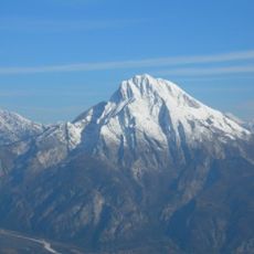
Monte Amariana
4.6 km
Duomo di Tolmezzo
1.2 km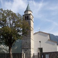
Pieve di Cesclans
5.9 km
Illegio/Dieç
4.7 km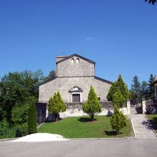
Pieve di Santa Maria Maddalena
6.1 km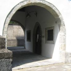
San Giovanni Battista Church
4.1 km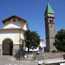
San Martino
3.6 km
Biotopo torbiera di Curiedi
4.5 km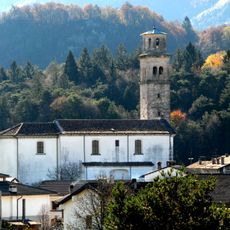
Chiesa di San Daniele
3.8 km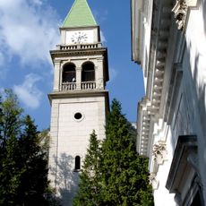
Chiesa di San Nicolò Vescovo
6.2 km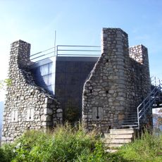
Picotta tower
1.4 km
Museo Carnico delle arti popolari "Michele Gortani"
1.4 km
Art park - Parco di arte contemporanea
2.2 km
Castle
3 km
Castello of Invillino
6.2 km
Castello of Cesclans
5.9 km
Castle
1 km
Scenic viewpoint
4 km
Prato d'arte Marzona
3.6 km
Pale dal Pup
2.7 km
Auditorium Luigi Candoni
1.2 km
Scenic viewpoint
2.7 km
Belvedere di Pratamat
6 km
Scenic viewpoint
2.5 km
Scenic viewpoint
1.8 km
Waterfall
5.3 km
Waterfall
4.4 km
Waterfall
4.1 kmReviews
Visited this place? Tap the stars to rate it and share your experience / photos with the community! Try now! You can cancel it anytime.
Discover hidden gems everywhere you go!
From secret cafés to breathtaking viewpoints, skip the crowded tourist spots and find places that match your style. Our app makes it easy with voice search, smart filtering, route optimization, and insider tips from travelers worldwide. Download now for the complete mobile experience.

A unique approach to discovering new places❞
— Le Figaro
All the places worth exploring❞
— France Info
A tailor-made excursion in just a few clicks❞
— 20 Minutes