Pod vechi de fier
Location: Raionul Florești
GPS coordinates: 47.87801,28.28014
Latest update: November 23, 2025 16:21
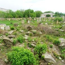
Jewish Cemetery
2.7 km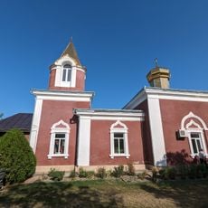
Biserica „Sf. Arhanghel Mihail”
3.7 km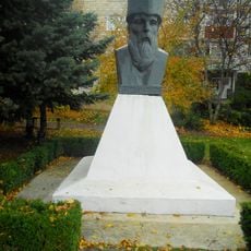
Monument to Miron Costin in Florești
2.4 km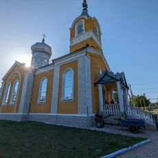
Biserica „Sf. Arhanghel Mihail”
2.6 km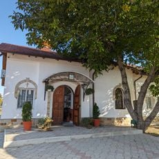
Biserica „Sf. Nicolae”
1.2 km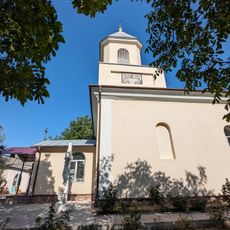
Biserica „Sf. Împărați Constantin și Elena”
5 km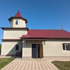
Biserica „Sf. Arhanghel Mihail”
2.3 km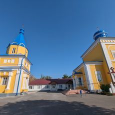
Catedrala „Sf. Mitrofan” cu turnul-clopotniță
854 m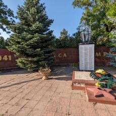
Mormânt comun al 82 ostași
2 km
Moară de apă
5.2 km
Tumuli - 8 - Băhrinești
5.2 km
Tumuli - 5 - Lunga
3.9 km
Florești Railway Station
2.2 km
Așezare - Vărvăreuca
4.8 km
Așezare - Băhrinești - II
3.6 km
Așezare - Băhrinești - I
4.5 km
Așezare - Vărvăreuca - VIII
985 m
Tumuli - 8 - Mărculești
2.1 km
Așezare - Băhrinești - III
2.3 km
Stațiune - Florești - II
4.5 km
Stațiune - Florești - IV
3.8 km
Tumuli - 8 - Florești
4.4 km
Gara Florești (clădire din sec. XIX)
2.2 km
Pod din piatră (1893)
4.1 km
Săpătură în stâncă (sec. XIX)
3.6 km
Grote
3.5 km
Moara
5.2 km
Cimitir evreesc
3.1 kmReviews
Visited this place? Tap the stars to rate it and share your experience / photos with the community! Try now! You can cancel it anytime.
Discover hidden gems everywhere you go!
From secret cafés to breathtaking viewpoints, skip the crowded tourist spots and find places that match your style. Our app makes it easy with voice search, smart filtering, route optimization, and insider tips from travelers worldwide. Download now for the complete mobile experience.

A unique approach to discovering new places❞
— Le Figaro
All the places worth exploring❞
— France Info
A tailor-made excursion in just a few clicks❞
— 20 Minutes