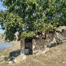
O clădire din perioada interbelică
Location: Raionul Florești
GPS coordinates: 47.75274,28.46960
Latest update: November 23, 2025 11:15
Springs of Ordășei
7.4 km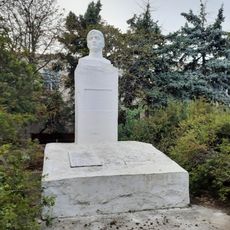
Grave of A. I. Ghidinski
7 km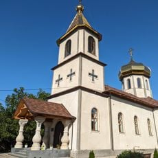
Biserica „Sf. Cuvioasă Paraschiva”
6.4 km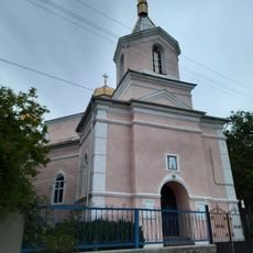
Saint Nicholas church in Domulgeni, Florești
5.6 km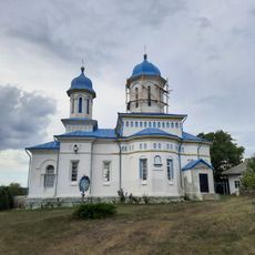
Saint John the Evangelist church in Prodănești, Florești
1.9 km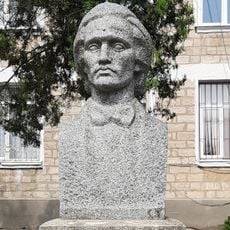
Bust of Mihai Eminescu in Ștefănești, Florești
3 km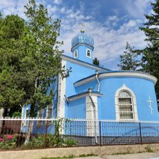
Church of the Nativity of the Virgin Mary in Ștefănești, Florești
3 km
Monument în memoria a 36 consăteni căzuți în război (1941-1945)
7.3 km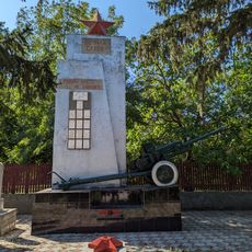
World War II memorial in Prodănești, Florești
1 km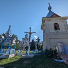
Biserica „Sf. Dimitrie” cu clopotniță
5.8 km
Biserica „Sf. Arhangheli”
7.3 km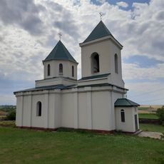
Biserica „Sf. Împărați Constantin și Elena”
1 km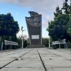
World War II memorial in Ștefănești, Florești
3 km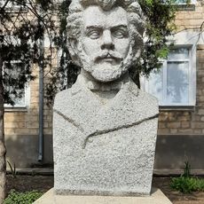
Bustul lui Ion Creangă
3 km
Tumuli - Ștefănești
5.3 km
Tumul - Răspopeni
6.6 km
Tumuli - 4 - Domulgeni
6.3 km
Tumuli - 2 - Tîrșiței
7.2 km
Tumuli - 12 - Prodănești–Căprești
3.2 km
Așezare - Prodănești–Căprești
2.4 km
Tumuli - 10 - Ordășei
5.7 km
Sondă de prospecțiune geologică
2.2 km
Ruinele hidrocentralei Ciutulești
3.1 km
Old Jewish Cemetery
632 m
Moară veche pe apă (abandonată)
4.5 km
Waterfall, tourist attraction
1.2 km
Waterfall, tourist attraction
1.2 km
Waterfall, tourist attraction
1.1 kmReviews
Visited this place? Tap the stars to rate it and share your experience / photos with the community! Try now! You can cancel it anytime.
Discover hidden gems everywhere you go!
From secret cafés to breathtaking viewpoints, skip the crowded tourist spots and find places that match your style. Our app makes it easy with voice search, smart filtering, route optimization, and insider tips from travelers worldwide. Download now for the complete mobile experience.

A unique approach to discovering new places❞
— Le Figaro
All the places worth exploring❞
— France Info
A tailor-made excursion in just a few clicks❞
— 20 Minutes