Galg en Vrömdenkerkhof
Location: Losser
Website: https://www.dedreemarken.nl/
Operator: De Dree Marken
Address: Loabultpad
Website: https://dedreemarken.nl
GPS coordinates: 52.32353,6.98905
Latest update: November 21, 2025 08:19

Arboretum Poort-Bulten
2.1 km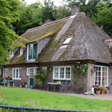
De Boschkamp, De Lutte
1.4 km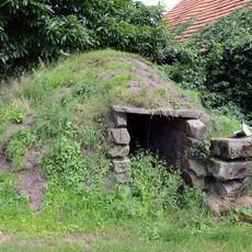
Aardappelkelder
1.8 km
Terrein waarin grafheuvel #45744
2.4 km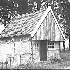
Molterheurneweg 6, De Lutte
1.8 km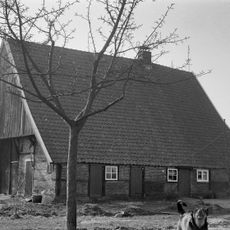
Hanhofweg 22, De Lutte
1.2 km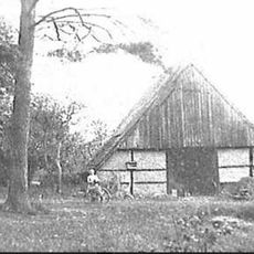
Saksische houten wagenschuur onder rieten zadeldak
1.8 km
Duivendal
1 km
Mariakapel
2.6 km
Vrijstaande schuur
1 km
Boerderij van het hallehuistype met krimp onder met rode hollandse pannen gedekt zadeldak
1 km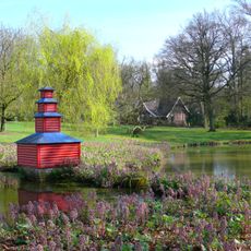
Jachtopzienerswoning
3.1 km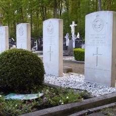
Geallieerd erehof
1 km
Terrein waarin sporen van bewoning
615 m
Carriage house of Egheria
2.4 km
De Hellehond
962 m
Openlucht theater "De Lutte"
1.1 km
't Kruisselt
1.6 km
Dinkelstein XV
3 km
De Hel
725 m
Ludger Bloemenbeekmonument
659 m
Work of art
2.1 km
Statue, Work of art
962 m
Belvedere
1.4 km
Koepel op de Tankenberg
2.3 km
Scenic viewpoint
1.3 km
'n Preakstool
1.7 km
Bank "zonder oe"
2.3 kmReviews
Visited this place? Tap the stars to rate it and share your experience / photos with the community! Try now! You can cancel it anytime.
Discover hidden gems everywhere you go!
From secret cafés to breathtaking viewpoints, skip the crowded tourist spots and find places that match your style. Our app makes it easy with voice search, smart filtering, route optimization, and insider tips from travelers worldwide. Download now for the complete mobile experience.

A unique approach to discovering new places❞
— Le Figaro
All the places worth exploring❞
— France Info
A tailor-made excursion in just a few clicks❞
— 20 Minutes