Meanders of Uvac river
Location: Ушак
Location: Општина Сјеница
GPS coordinates: 43.35740,19.95948
Latest update: November 23, 2025 01:56
Special Nature Reserve Uvac
532 m
Sjeničko jezero
7 km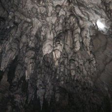
Ledena pećina
576 m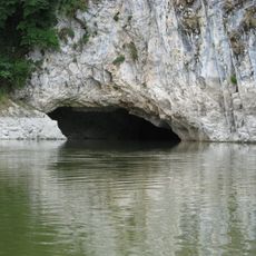
Ušačka cave
1.3 km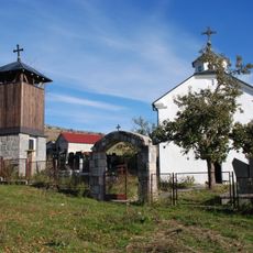
Église du Saint-Archange de Bukovik
6.6 km
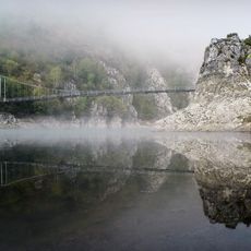
Bandera
6.1 km
Kamenita Glava
2.5 km
Kobila Glava
7.3 km
Velika Litica
4.4 km
Govedaj
1.8 km
Кућа народног хероја Јездимира Ловића
3.6 km
Црква Св. Арханђела у Буковику
6.6 km
Scenic viewpoint
6.1 km
Scenic viewpoint
3.6 km
Best possible road to the viewpoint Molitva
6.3 km
Scenic viewpoint
4.1 km
Равни крш
511 m
Велики врх
540 m
Scenic viewpoint
4.6 km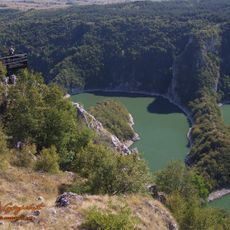
Molitva
411 m
Scenic viewpoint
543 m
Scenic viewpoint
2.8 km
Uvac viewpoint
919 m
Vidikovac Sedlo
7 km
Vidikovac Novi
7.1 km
Scenic viewpoint
434 m
Scenic viewpoint
5.1 km
Scenic viewpoint
5 kmReviews
Visited this place? Tap the stars to rate it and share your experience / photos with the community! Try now! You can cancel it anytime.
Discover hidden gems everywhere you go!
From secret cafés to breathtaking viewpoints, skip the crowded tourist spots and find places that match your style. Our app makes it easy with voice search, smart filtering, route optimization, and insider tips from travelers worldwide. Download now for the complete mobile experience.

A unique approach to discovering new places❞
— Le Figaro
All the places worth exploring❞
— France Info
A tailor-made excursion in just a few clicks❞
— 20 Minutes