Jubilejný háj RČS 1918-1928 Kremnica - Smrečník
Location: Kremnica
Location: okres Žiar nad Hronom
GPS coordinates: 48.70687,18.99726
Latest update: November 9, 2025 02:09
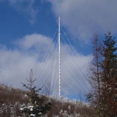
Sendeanlage Sucha Hora
3.5 km
Skalka
3.7 km
Velestúr
519 m
Skalka
3.7 km
Zlatá studňa
1.1 km
Kremnický štít
3.5 km
Javorník
2.1 km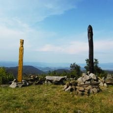
Smrečník
316 m
Horná skala
2 km
Mýtny vrch
2.5 km
Labušen
1.1 km
Horná Roveň
1.7 km
Hladká
2.7 km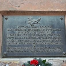
Meštiansky dom, tabuľa pamätná
3.8 km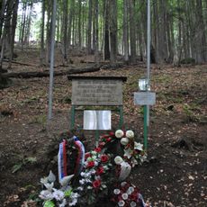
Pam. tabuľa letcom
3.3 km
Via Ferrata Skalka
4 km
Via Ferrata Skalka
3.9 km
Via Ferrata Skalka
3.8 km
Scenic viewpoint
2.1 km
Scenic viewpoint
3.7 km
Scenic viewpoint
2 km
Scenic viewpoint
3 km
Scenic viewpoint
3 km
Scenic viewpoint
2.2 km
Scenic viewpoint
3 km
Scenic viewpoint
2.1 km
Skala
2.5 km
Badínsky vodopád
3.2 kmReviews
Visited this place? Tap the stars to rate it and share your experience / photos with the community! Try now! You can cancel it anytime.
Discover hidden gems everywhere you go!
From secret cafés to breathtaking viewpoints, skip the crowded tourist spots and find places that match your style. Our app makes it easy with voice search, smart filtering, route optimization, and insider tips from travelers worldwide. Download now for the complete mobile experience.

A unique approach to discovering new places❞
— Le Figaro
All the places worth exploring❞
— France Info
A tailor-made excursion in just a few clicks❞
— 20 Minutes