Lavaderos públicos
Location: Retortillo de Soria
Address: Calle La Fuente
GPS coordinates: 41.31272,-2.98164
Latest update: November 23, 2025 17:32
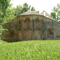
Hermitage of Santa Coloma de Albendiego
11.2 km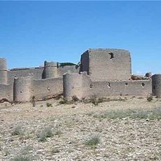
Castle of Caracena
12 km
Embalse de Zorita
8 km
Stonecutter marks in Nuestra Señora de la Natividad church, Hijes
7 km
Church of Nuestra Señora de la Asunción
10.1 km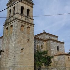
Iglesia de San Juan Bautista (Brías)
9.8 km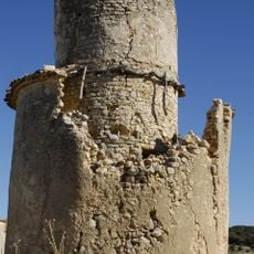
Watchtower of Nograles
9.9 km
Hermitage of Nuestra Señora de la Calzada, Brías
9.7 km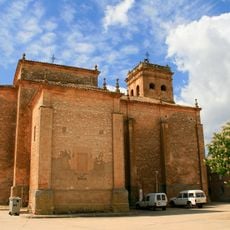
Church of Saint John the Baptist, Brías
9.8 km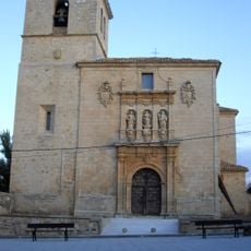
Church of Saint Peter, Abanco
8 km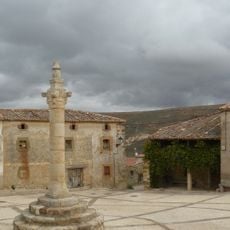
Rollo de Caracena
12.1 km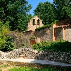
Ermita de la Virgen de la Calzada
9.7 km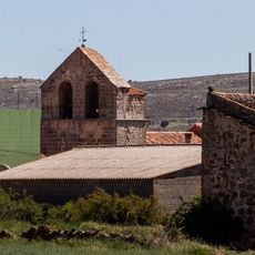
Church of San Clemente
11.7 km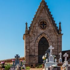
Ermita de la Virgen de la Soledad
5.6 km
Zona Arqueológica "Villa Romana de Huerta del Río"
7.5 km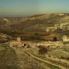
Villa de Caracena
12.1 km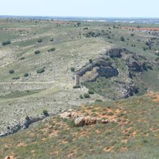
Watchtower of Caracena
13.5 km
Cristo de Carrasquillo
6.9 km
Encina milenaria de Valderromán
12.8 km
Scenic viewpoint
8.5 km
Via crucis
11.2 km
Via crucis
11.2 km
Via crucis
11.2 km
Iglesia de San Andrés Apóstol de Romanillos de Atienza
8.3 km
Memorial
12.1 km
Despoblado de Torrubias
7.6 km
Commemorative plaque, memorial
10 m
Necrópolis de Torrubias
7.6 kmReviews
Visited this place? Tap the stars to rate it and share your experience / photos with the community! Try now! You can cancel it anytime.
Discover hidden gems everywhere you go!
From secret cafés to breathtaking viewpoints, skip the crowded tourist spots and find places that match your style. Our app makes it easy with voice search, smart filtering, route optimization, and insider tips from travelers worldwide. Download now for the complete mobile experience.

A unique approach to discovering new places❞
— Le Figaro
All the places worth exploring❞
— France Info
A tailor-made excursion in just a few clicks❞
— 20 Minutes