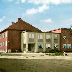
Åsele hembygdsområde
Location: Åsele kommun
Accessibility: Acceso limitado en silla de ruedas
GPS coordinates: 64.16010,17.35525
Latest update: October 31, 2025 22:14
Åsele Municipality
1.3 km
Björnlandet National Park
38.2 km
Stockholmsgata
35.9 km
Övra kapell
37.5 km
Stockholmsgatorna
37.7 km
Över-Karpsjön
31.9 km
Åsele köping
92 m
Mossaträsk-Stormyran
36.3 km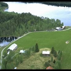
Torvsjö kvarnar
24.2 km
Björnlandet syd
38.8 km
Björnlandet öst
40.5 km
Mesjödalen
34 km
Stenbithöjden
26.1 km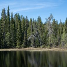
Tallsjöberget
36 km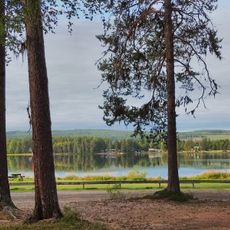
Stamsjöbadets naturiststrand
3.5 km
Fredrika 246
41 km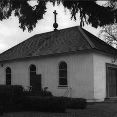
Åsele, Mariakapellet
637 m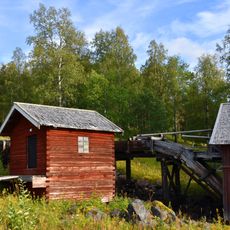
Torvsjö Mills
24.2 km
Åsele 151:1
27.6 km
Vitterhuset
8.5 km
Lappgubben
306 m
Work of art, sculpture
39.9 km
Scenic viewpoint
36.7 km
Scenic viewpoint
36.6 km
Björnbergets utkiksplats
38.6 km
Rönnlandsutsikten
36.6 km
Angsjöutsikten
40 km
Scenic viewpoint
39.1 kmReviews
Visited this place? Tap the stars to rate it and share your experience / photos with the community! Try now! You can cancel it anytime.
Discover hidden gems everywhere you go!
From secret cafés to breathtaking viewpoints, skip the crowded tourist spots and find places that match your style. Our app makes it easy with voice search, smart filtering, route optimization, and insider tips from travelers worldwide. Download now for the complete mobile experience.

A unique approach to discovering new places❞
— Le Figaro
All the places worth exploring❞
— France Info
A tailor-made excursion in just a few clicks❞
— 20 Minutes