Млин
Location: Ставищенська селищна громада
GPS coordinates: 49.35217,30.28249
Latest update: November 14, 2025 23:42
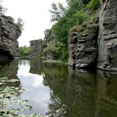
Buky Canyon
30.2 km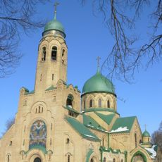
Church of the Intercession
28.5 km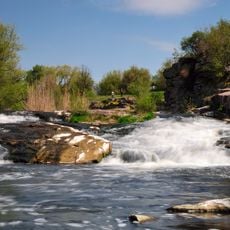
Vyr Waterfall
29.6 km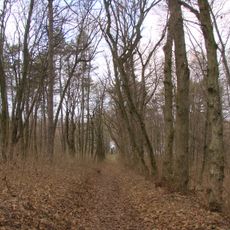
P'yatigirs'kij park
26 km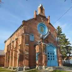
Saint Mary Magdalene church in Tarashcha
27.9 km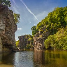
Radionova rock
30.4 km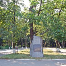
Stavyshchenskyi Park
7.9 km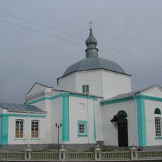
Church of the Dormition, Piatyhory
29.2 km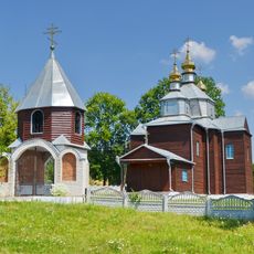
Church of the Nativity of the Theotokos in Antonivka, Stavyshche Raion
4.3 km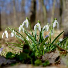
Revuha
9 km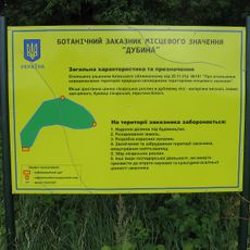
Urochyshche Dubyna Reserve
8.8 km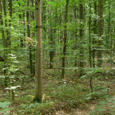
Ulashivska Dacha Reserve
24.7 km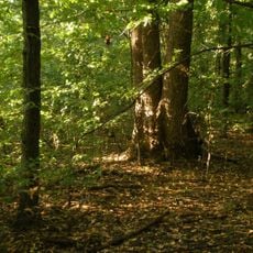
Liubachivskyi Lis Reserve
25.8 km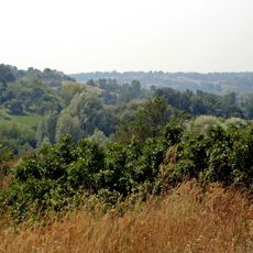
Stryzhavskyi Lis Reserve
21.9 km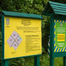
Volodarska Dacha Reserve
28.2 km
Мохове
26.9 km
Вид на греблю
29.6 km
The Magic Bus
25.9 km
Церква Іоанна Богослова
14 km
Вид на гідроелектростанцію
30.2 km
Буцький каньйон
30.3 km
Scenic viewpoint
30.4 km
Вид на водоспад
29.7 km
Scenic viewpoint
29.3 km
Scenic viewpoint
28.9 km
Scenic viewpoint
25.1 km
Scenic viewpoint
29.8 km
Waterfall
29.8 kmReviews
Visited this place? Tap the stars to rate it and share your experience / photos with the community! Try now! You can cancel it anytime.
Discover hidden gems everywhere you go!
From secret cafés to breathtaking viewpoints, skip the crowded tourist spots and find places that match your style. Our app makes it easy with voice search, smart filtering, route optimization, and insider tips from travelers worldwide. Download now for the complete mobile experience.

A unique approach to discovering new places❞
— Le Figaro
All the places worth exploring❞
— France Info
A tailor-made excursion in just a few clicks❞
— 20 Minutes