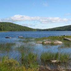
Barrage Jules-Allard
Location: Saint-Joseph-de-Coleraine
GPS coordinates: 45.94663,-71.27816
Latest update: October 26, 2025 10:02
Frontenac National Park
10.1 km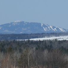
Mont Adstock
10.8 km
Serpentine-de-Coleraine Ecological Reserve
8.9 km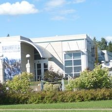
Musee Mineralogique et Minier de Thetford Mines
17 km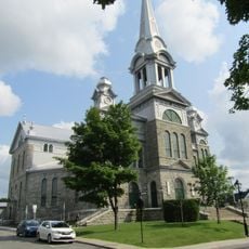
Église Saint-Alphonse
16 km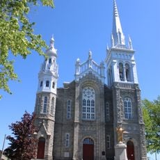
Église Saint-Vital de Lambton
19 km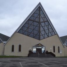
Église Sainte-Marthe de Thetford Mines
18.1 km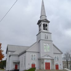
Église Saint-Désiré de Black Lake
12.8 km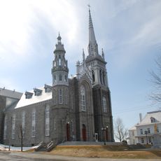
Site de l'église de Saint-Vital
18.9 km
Presbytère de Saint-Alphonse
16.1 km
Presbytère de Sainte-Marthe
18.2 km
Scenic viewpoint
19 km
Scenic viewpoint
10 km
Synergie Sol-air
16.2 km
Plongé
20.3 km
Observation tower, scenic viewpoint, tower
11 km
Scenic viewpoint
8.5 km
Scenic viewpoint
8.6 km
Scenic viewpoint
8.6 km
Scenic viewpoint
10 km
Les Vélorail de Beaulac-Garthby
15 km
Baie Sauvage
16.7 km
Scenic viewpoint
19.1 km
Point de vue
7 km
Belvédère Du Quartier Mitchell
14.5 km
Scenic viewpoint
16.8 km
Scenic viewpoint
15.8 km
Scenic viewpoint
19.4 kmReviews
Visited this place? Tap the stars to rate it and share your experience / photos with the community! Try now! You can cancel it anytime.
Discover hidden gems everywhere you go!
From secret cafés to breathtaking viewpoints, skip the crowded tourist spots and find places that match your style. Our app makes it easy with voice search, smart filtering, route optimization, and insider tips from travelers worldwide. Download now for the complete mobile experience.

A unique approach to discovering new places❞
— Le Figaro
All the places worth exploring❞
— France Info
A tailor-made excursion in just a few clicks❞
— 20 Minutes