Fort Egbert
Location: Unorganized Borough
GPS coordinates: 64.78892,-141.21326
Latest update: November 24, 2025 03:05
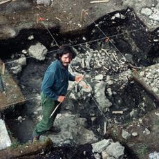
Bluefish Caves
80 km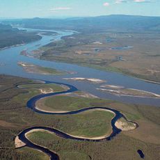
Yukon–Charley Rivers National Preserve
78.5 km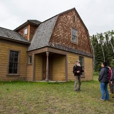
Fort Egbert
93 m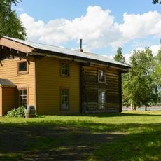
Slaven's Cabin
109.1 km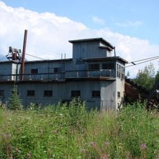
Coal Creek Historic Mining District
109.4 km
Biederman's Cabin
90.1 km
Steele Creek Roadhouse
57.8 km
Chicken Historic District
86.7 km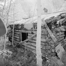
George McGregor Cabin
109.4 km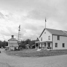
Eagle Historic District
403 m
Eagle Bluff
1.5 km
Calico Bluff
13.9 km
Chester Bluff
93.7 km
Biederman Bluff
95.3 km
Montauk Bluff
38.4 km
Jëjezhuu Tr’injàa Mountain
31.6 km
Deadman Riffle
60.2 km
Mount Skookum Jim
110.6 km
Coal Creek Dredge
107.9 km
Historic Dredge Camp
87.2 km
Pedro Dredge
87.3 km
Chicken chicken statue
87.3 km
Scenic viewpoint
80.6 km
Scenic viewpoint
78.9 km
Scenic viewpoint
79.8 km
Scenic viewpoint
83 km
Scenic viewpoint
113.5 km
Waterfall
33.1 kmReviews
Visited this place? Tap the stars to rate it and share your experience / photos with the community! Try now! You can cancel it anytime.
Discover hidden gems everywhere you go!
From secret cafés to breathtaking viewpoints, skip the crowded tourist spots and find places that match your style. Our app makes it easy with voice search, smart filtering, route optimization, and insider tips from travelers worldwide. Download now for the complete mobile experience.

A unique approach to discovering new places❞
— Le Figaro
All the places worth exploring❞
— France Info
A tailor-made excursion in just a few clicks❞
— 20 Minutes