Coal Creek Historic Mining District, Gold mining district in Yukon-Koyukuk Census Area, United States
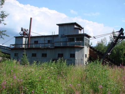
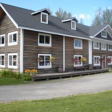
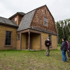
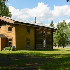
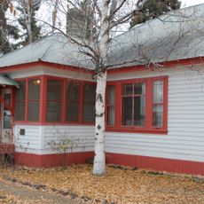
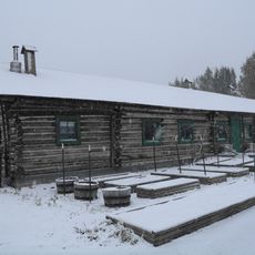
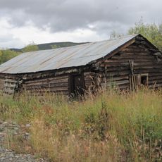
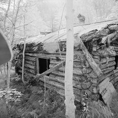
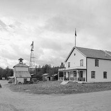
Coal Creek Historic Mining District is a gold mining operation spread across 349 acres (141 hectares) within the Yukon-Charley Rivers National Preserve, featuring a preserved gold dredge and supporting facilities. The site contains about 26 buildings and structures including bunkhouses, a mess hall, assaying office, and machine shops that together show how miners worked and lived.
The mining district was established in 1934 when operators brought a large gold dredge from California to process gravel on a major scale. This operation emerged during the later stages of Alaska's gold rush era, continuing the search for riches in remote northern territory.
The buildings show how miners lived and worked together in this remote frozen landscape during the early 1900s. Visitors can see the communal spaces and workshops where daily routines kept the operation running.
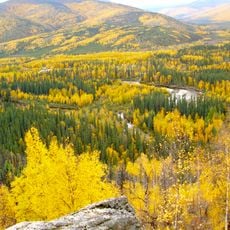
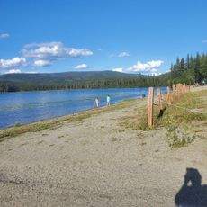
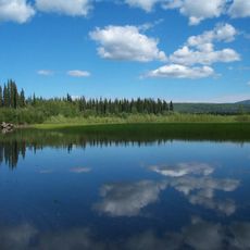
The site sits in remote wilderness accessible mainly during warmer months from late spring through early fall when snow and ice are absent. Visitors need to prepare for extreme cold, isolation, and rugged conditions since this location lacks typical amenities and services.
The gold dredge at this location was exceptionally powerful for its era, capable of processing enormous quantities of material each day from the creek and surrounding ground. Visitors today can see the scale of this mechanical operation and understand the environmental footprint such mining left on the landscape.
The community of curious travelers
AroundUs brings together thousands of curated places, local tips, and hidden gems, enriched daily by 60,000 contributors worldwide.