Enable Location

We need your location to show you interesting places around you

Discover nearby places

Find interesting locations and hidden gems around you

Precise directions

Get accurate directions and distances to places

Your location is never shared with other users. It's only used when you tap the location button.

Trans-Alaska Pipeline System

Log in to your account

Start exploring — it's free

Trusted by 62,997 travelers worldwide

Continue with Google
Continue with Apple
or

We will send you a code to connect

By continuing, you accept our Terms and Conditions and our Privacy Policy

Check your inbox

We've sent a pincode in your inbox. Please enter the code below.

Trans-Alaska Pipeline System
Discussion Reviews 1 Photos
142k Popularity

Trans-Alaska Pipeline System, Oil pipeline from Prudhoe Bay to Valdez, United States

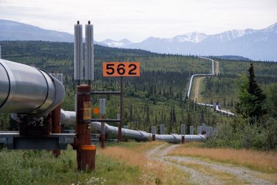
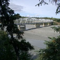
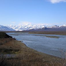
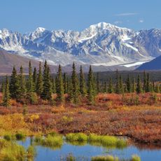
The Trans-Alaska Pipeline System is an oil pipeline linking Prudhoe Bay in the north to the port of Valdez in the south, running roughly 800 miles through the wilderness of Alaska. The tube travels partly above ground on metal supports and partly underground, crossing rivers, mountains and tundra.

After the discovery of large oil reserves in Prudhoe Bay in the late 1960s, construction began in 1974 and ended three years later. Thousands of workers moved to Alaska for the project, permanently changing the demographics of the state.

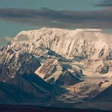
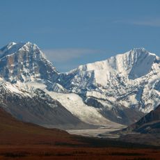
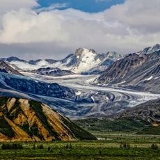
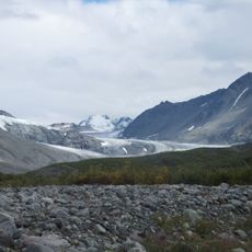
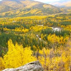
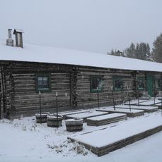
The route passes through several climate zones and landscape types, giving travelers insight into how engineering adapts to extreme conditions. Along the way, information panels recall how life in remote communities changed through access to work and infrastructure.

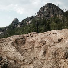
Several viewpoints along the Richardson and Dalton Highways offer views of the tube and allow visitors to see the structure up close. Information panels at these spots explain how the system works and the technical challenges of the project.

The tube can expand or contract several meters with temperature changes, so special joints absorb the movement. At some points the construction is laid in a zigzag pattern so it can move flexibly during earthquakes or ground shifts.

The community of curious travelers

AroundUs brings together thousands of curated places, local tips, and hidden gems, enriched daily by 60,000 contributors worldwide.

Start exploring
Location
Industry
petroleum industry
GPS coordinates
64.15720,-145.84900
Latest update
December 12, 2025 21:35
Around this place
Mount Hayes
United States of America

Mount Hayes

73.4 km
Mount Deborah
United States of America

Mount Deborah

89.2 km
Castner Glacier
United States of America

Castner Glacier

83.1 km
Gulkana Glacier
United States of America

Gulkana Glacier

103.7 km
Rika's Landing Roadhouse
United States of America

Rika's Landing Roadhouse

490 m
Chena River State Recreation Area
United States of America

Chena River State Recreation Area

87.7 km
Immaculate Conception Church
United States of America

Immaculate Conception Church

117.9 km
Lacey Street Theatre
United States of America

Lacey Street Theatre

117.7 km
Mary Lee Davis House
United States of America

Mary Lee Davis House

118.1 km
Susitna Glacier
United States of America

Susitna Glacier

77.7 km
Fairbanks City Hall
United States of America

Fairbanks City Hall

117.6 km
Rabinowitz Courthouse
United States of America

Rabinowitz Courthouse

117.8 km
Masonic Temple
United States of America

Masonic Temple

118.1 km
Old Federal Building
United States of America

Old Federal Building

117.8 km
Birch Lake State Recreation Site
United States of America

Birch Lake State Recreation Site

42.3 km
Old City Hall
United States of America

Old City Hall

117.7 km
Falcon Joslin House
United States of America

Falcon Joslin House

118.1 km
George C. Thomas Memorial Library
United States of America

George C. Thomas Memorial Library

118.2 km
Sullivan Roadhouse
United States of America

Sullivan Roadhouse

14.7 km
Fairbanks Exploration Company Housing
United States of America

Fairbanks Exploration Company Housing

118.2 km
Oddfellows House
United States of America

Oddfellows House

118.1 km
Johnson River
United States of America

Johnson River

75 km
Maclaren River
United States of America

Maclaren River

118 km
Canwell Glacier
United States of America

Canwell Glacier

95.2 km
Nenana Glacier
United States of America

Nenana Glacier

111.2 km
Yanert Glacier
United States of America

Yanert Glacier

110.3 km
Angel Rocks Trail
United States of America

Angel Rocks Trail

96.7 km
Tanana River Bridge
United States of America

Tanana River Bridge

163 m
Show the full map
Reviews
Share your experience

No review yet

Discussions
Start a discussion...

No discussion yet

« Trans-Alaska Pipeline System - Oil pipeline from Prudhoe Bay to Valdez, United States » is provided by Around Us (aroundus.com). Images and texts are derived from Wikimedia project under a Creative Commons license. You are allowed to copy, distribute, and modify copies of this page, under the conditions set by the license, as long as this note is clearly visible.

Discover hidden gems everywhere you go!

From secret cafés to breathtaking viewpoints, skip the crowded tourist spots and find places that match your style. Our app makes it easy with voice search, smart filtering, route optimization, and insider tips from travelers worldwide. Download now for the complete mobile experience.

Around Us App Screenshot

A unique approach to discovering new places

Le Figaro

All the places worth exploring

France Info

A tailor-made excursion in just a few clicks

20 Minutes

Around Us
Travel Guide & Maps
Download

Send to your phone

QR Code
1

Open the camera app on your mobile.

2

Point at the QR code with your camera. A notification will appear.

3

Tap the notification to open the link.