Big Delta State Historical Park
Location: Unorganized Borough
Website: https://dnr.alaska.gov/parks/units/deltajct/bigdelta.htm
GPS coordinates: 64.15477,-145.84038
Latest update: November 24, 2025 11:40
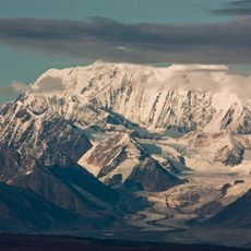
Mount Hayes
73.4 km
Tanana River Bridge
74.4 km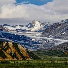
Castner Glacier
82.8 km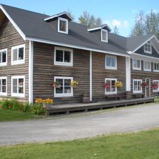
Rika's Landing Roadhouse
52 m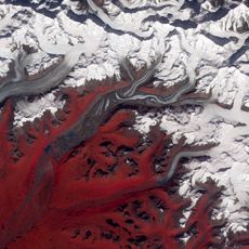
Susitna Glacier
77.7 km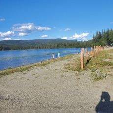
Birch Lake State Recreation Site
42.8 km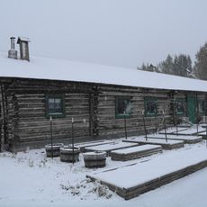
Sullivan Roadhouse
14.3 km
Gillam Glacier
80 km
Black Rapids
69.4 km
Bates Rapids
8.3 km
Jarvis Creek
70.1 km
Alaska-Canada Military Highway
73 km
Delta Creek
53 km
Salcha Bluff
59.7 km
Little Gerstle River
65.4 km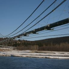
Tanana Pipeline Bridge
517 m
Johnson River
76.6 km
Mount Hayes
73.4 km
Driving range
81.9 km
Pipeline Viewpoint
45.5 km
Silver Fox Lodge
53.7 km
Scenic viewpoint
31.8 km
Scenic viewpoint
30.2 km
Scenic viewpoint
43.3 km
Scenic viewpoint
45 km
Scenic viewpoint
72.6 km
Denali's Fault. Scenic overlook
18.9 km
Scenic viewpoint
19.4 kmReviews
Visited this place? Tap the stars to rate it and share your experience / photos with the community! Try now! You can cancel it anytime.
Discover hidden gems everywhere you go!
From secret cafés to breathtaking viewpoints, skip the crowded tourist spots and find places that match your style. Our app makes it easy with voice search, smart filtering, route optimization, and insider tips from travelers worldwide. Download now for the complete mobile experience.

A unique approach to discovering new places❞
— Le Figaro
All the places worth exploring❞
— France Info
A tailor-made excursion in just a few clicks❞
— 20 Minutes