
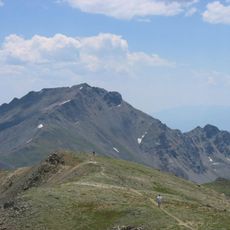
Columbine Mine
Location: Chaffee County
GPS coordinates: 39.02466,-106.35924
Latest update: November 15, 2025 04:29
Mount Harvard
11.6 km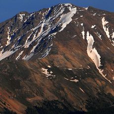
La Plata Peak
9.8 km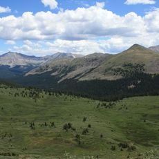
Collegiate Peaks Wilderness
13.1 km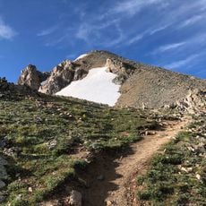
Huron Peak
11.1 km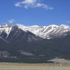
Mount Columbia
14.5 km
Mount Belford
7.1 km
Winfield
8.2 km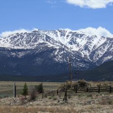
Mount Oxford
6.9 km
Casco Peak
15.3 km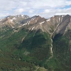
Mount Blaurock
8.3 km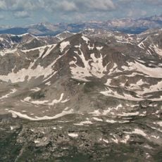
Emerald Peak
10.8 km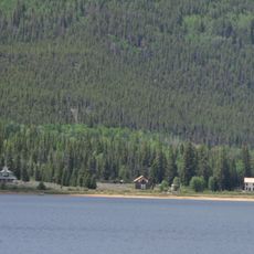
Interlaken Resort District
6 km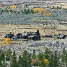
Derry Mining Site Camp
11.1 km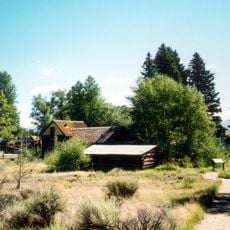
Twin Lakes District
6.7 km
Mount Hope (Colorado)
5.2 km
Hayden Ranch Headquarters
12.2 km
Mount Elbert
12.8 km
McFadden Barn
14.1 km
Clear Creek Reservoir
8.9 km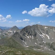
Missouri Mountain
8.7 km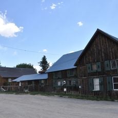
Twin Lakes Inn
6.7 km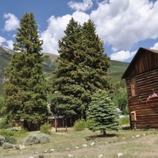
Twin Lakes Visitor Center
6.7 km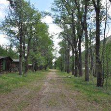
Vicksburg
3.2 km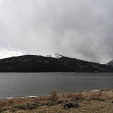
Twin Lakes Reservoir
7 km
Interlaken
5.9 km
Clear Creek Reservoir Overlook
1.5 km
Twin Lakes Overlook
1.3 km
Waterfall
8.5 kmReviews
Visited this place? Tap the stars to rate it and share your experience / photos with the community! Try now! You can cancel it anytime.
Discover hidden gems everywhere you go!
From secret cafés to breathtaking viewpoints, skip the crowded tourist spots and find places that match your style. Our app makes it easy with voice search, smart filtering, route optimization, and insider tips from travelers worldwide. Download now for the complete mobile experience.

A unique approach to discovering new places❞
— Le Figaro
All the places worth exploring❞
— France Info
A tailor-made excursion in just a few clicks❞
— 20 Minutes