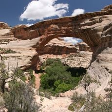
Kachina Bridge
Location: San Juan County
GPS coordinates: 37.60018,-110.03103
Latest update: October 12, 2024 08:09
Sipapu Bridge
2.5 km
Natural Bridges National Monument Visitor Center
4.9 km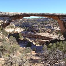
Owachomo Bridge
2.5 km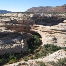
Kachina Bridge
14 m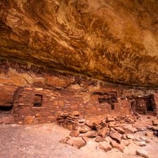
Horse Collar Ruin
1.6 km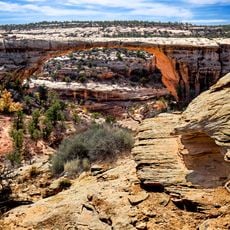
Owachomo Bridge Trail
2.7 km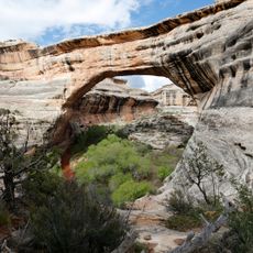
Sipapu Bridge Trailhead
2.4 km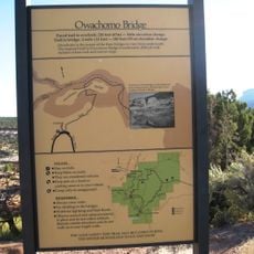
Owachomo Bridge Viewpoint Trailhead
2.3 km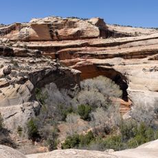
Kachina Bridge Viewpoint Trailhead
451 m
Horsecollar Ruin Trailhead
1.9 km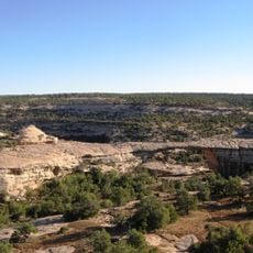
Armstrong Canyon
99 m
Owachomo Bridge View
2.3 km
Cheesebox Canyon
8.9 km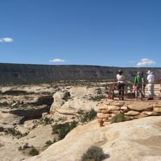
Sipapu Bridge View Point
2.8 km
Kachina Bridge View
389 m
Natural Bridges Entrance Viewpoint
5.8 km
Horsecollar Ruin Overlook
1.6 km
Owachomo Bridge
2.5 km
Owachomo Bridge Overlook
2.3 km
Sipapu Bridge View
2.3 km
Sipapu Bridge View
2.8 km
Waterfall
4.4 km
Arch
1.6 km
Kachina Bridge Overlook
387 m
Waterfall
6.3 km
Waterfall
7.5 km
Arch
8.5 km
Waterfall
359 mReviews
Visited this place? Tap the stars to rate it and share your experience / photos with the community! Try now! You can cancel it anytime.
Discover hidden gems everywhere you go!
From secret cafés to breathtaking viewpoints, skip the crowded tourist spots and find places that match your style. Our app makes it easy with voice search, smart filtering, route optimization, and insider tips from travelers worldwide. Download now for the complete mobile experience.

A unique approach to discovering new places❞
— Le Figaro
All the places worth exploring❞
— France Info
A tailor-made excursion in just a few clicks❞
— 20 Minutes