Hamburger Rocks
Location: Garfield County
GPS coordinates: 37.75225,-110.96738
Latest update: October 12, 2024 08:12

Death Hollow
25.4 km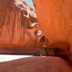
The Golden Cathedral
23 km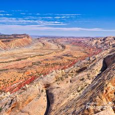
Strike Valley Overlook
16 km
Burr Trail Switchbacks
11.9 km
Little Death Hollow Trailhead
19.1 km
Deer Point
5.3 km
Upper Muley Twist Canyon
13.4 km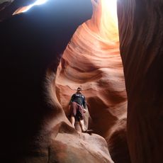
Ringtail Slot Canyon
23.7 km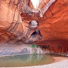
Neon Canyon
23 km
Unnamed Arch
17.9 km
Shy Arch
19.6 km
Cheerios Double Arch
15.4 km
Waterfall
14.6 km
Bullfrog Canyon Overlook
14.1 km
Muley Arch
18.1 km
Saddle Arch
18.6 km
Peak-A-Boo Arch
13.4 km
Waterfall
19.6 km
Trinity Double Arch
15.2 km
UT-318 Arch
19.7 km
Dome Arch
20 km
Petrified Wood
20.7 km
Wolverine Petrified Wood Natural Area
21.9 km
Waterfall
9.2 km
Arch
7.7 km
Halls Creek Overlook
5 km
Ant Knolls Arch
25 km
Brimhall Bridge
4.3 kmReviews
Visited this place? Tap the stars to rate it and share your experience / photos with the community! Try now! You can cancel it anytime.
Discover hidden gems everywhere you go!
From secret cafés to breathtaking viewpoints, skip the crowded tourist spots and find places that match your style. Our app makes it easy with voice search, smart filtering, route optimization, and insider tips from travelers worldwide. Download now for the complete mobile experience.

A unique approach to discovering new places❞
— Le Figaro
All the places worth exploring❞
— France Info
A tailor-made excursion in just a few clicks❞
— 20 Minutes