The Knife Edge
Location: Montezuma County
GPS coordinates: 37.30354,-108.44074
Latest update: November 23, 2025 12:56
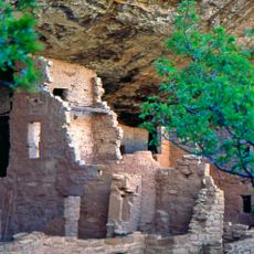
Mesa Verde National Park
6.8 km
Mesa Verde Wilderness
6.9 km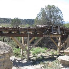
Montezuma Valley Irrigation Company Flume No. 6
7.4 km
Knife Edge Trail
866 m
Prater Ridge Trail
1.4 km
Point Lookout Trail
2.1 km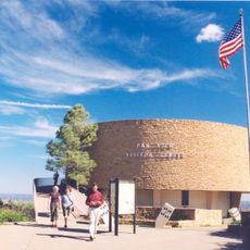
Far View Visitor Center
7.2 km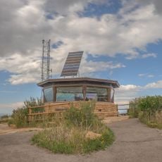
Park Point Lookout
3.1 km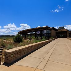
Mesa Verde Visitor and Research Center
4.6 km
Montezuma Valley Overlook
771 m
North Rim
7.7 km
East Rim
8.2 km
Mancos Valley Overlook
2.7 km
Park Point Overlook
3.1 km
Geologic Overlook
4.8 km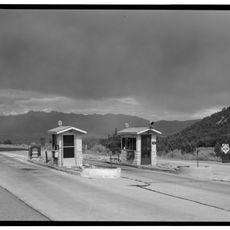
Mesa Verde National Park Entrance Station
3.8 km
Whites Mesa Lookout
8.3 km
Scenic viewpoint
3.1 km
The Ancient Ones
4.7 km
Mesa Verde Amphitheater
2 km
Park Point Overview
3.1 km
Scenic viewpoint
7 km
Geologic Overlook
4.8 km
Geologic Overlook
4.8 km
Park Point Overlook
3.2 km
Point Lookout
2.4 km
Scenic viewpoint
137 m
Montezuma Overlook
796 mReviews
Visited this place? Tap the stars to rate it and share your experience / photos with the community! Try now! You can cancel it anytime.
Discover hidden gems everywhere you go!
From secret cafés to breathtaking viewpoints, skip the crowded tourist spots and find places that match your style. Our app makes it easy with voice search, smart filtering, route optimization, and insider tips from travelers worldwide. Download now for the complete mobile experience.

A unique approach to discovering new places❞
— Le Figaro
All the places worth exploring❞
— France Info
A tailor-made excursion in just a few clicks❞
— 20 Minutes