Ann's Villa
Location: Blue Crane Route Local Municipality
GPS coordinates: -33.25401,25.77265
Latest update: November 21, 2025 04:26
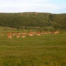
Shamwari Private Game Reserve
34.7 km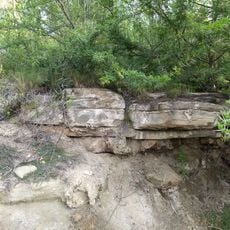
Sundays River Formation
41.7 km
The Lookout
29 km
Amakhala Game Reserve
44.6 km
Marion Baree Waterhole
30.4 km
Hapoor Dam Viewpoint
27.8 km
Sign Board
40.4 km
Addo Elephant National Park
21.4 km
Schotia Game Reserve
33.8 km
Underground Hide
21.4 km
Bird Hide
21.3 km
Nanaga Farm Stall
41.7 km
Spekboom Hide
28.8 km
Domkrag Dam
20.8 km
Bushman Sands Golf Course & Hotel
29.6 km
Kirkwood Golf Course
33.6 km
Gwarrie Pan
22.1 km
Zuurkop Lookout Point
23.2 km
Nyati Water Hole
21.4 km
Rooidam Viewpoint
22.5 km
Kadouw Lookout Point
26.5 km
Algoa Bay Lookout
39.1 km
Sir Percy Fitzgerald Lookout
28.9 km
Moth Memorial
34.5 km
Waterfall
27.5 km
Waterfall
27.5 km
Waterfall
27.4 km
Waterfall
27.5 kmReviews
Visited this place? Tap the stars to rate it and share your experience / photos with the community! Try now! You can cancel it anytime.
Discover hidden gems everywhere you go!
From secret cafés to breathtaking viewpoints, skip the crowded tourist spots and find places that match your style. Our app makes it easy with voice search, smart filtering, route optimization, and insider tips from travelers worldwide. Download now for the complete mobile experience.

A unique approach to discovering new places❞
— Le Figaro
All the places worth exploring❞
— France Info
A tailor-made excursion in just a few clicks❞
— 20 Minutes