Enable Location

We need your location to show you interesting places around you

Discover nearby places

Find interesting locations and hidden gems around you

Precise directions

Get accurate directions and distances to places

Your location is never shared with other users. It's only used when you tap the location button.

Karnischer Höhenweg

Log in to your account

Start exploring — it's free

Trusted by 60,664 travelers worldwide

Continue with Google
Continue with Apple
or

We will send you a code to connect

By continuing, you accept our Terms and Conditions and our Privacy Policy

Check your inbox

We've sent a pincode in your inbox. Please enter the code below.

Karnischer Höhenweg

Karnischer Höhenweg, Mountain hiking trail in Carnic Alps, Austria and Italy

Description

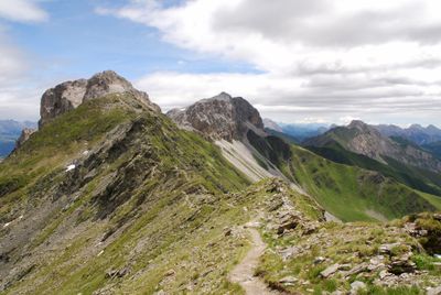
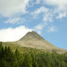
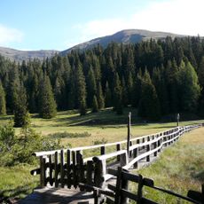
Karnischer Höhenweg stretches for 168 kilometers along the border between Austria and Italy, crossing mountain ridges and alpine meadows with different rock layers. The path winds through open high plateaus, steep slopes, and gentle basins, with views alternating between the Northern Alps and the Dolomites.

History

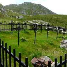
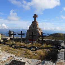
This route follows former military paths from World War I, when soldiers built fortifications, bunkers, and supply routes along the Austrian-Italian front. After 1918 many of these structures fell into decay, but some sections were later reopened for hikers and linked into a continuous high trail.

Culture

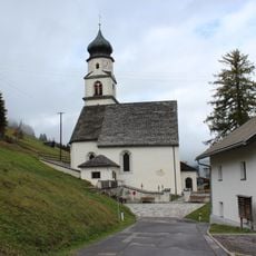
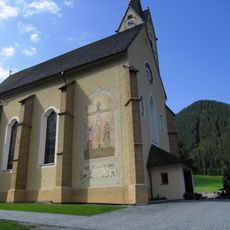
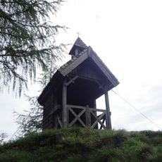
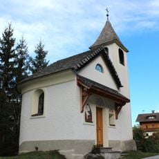
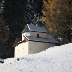
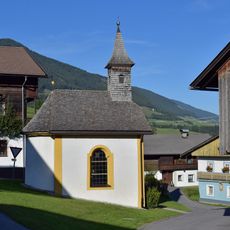
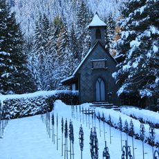
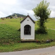
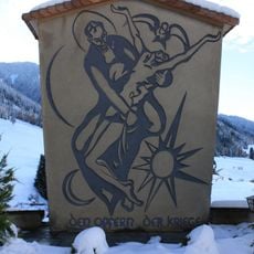
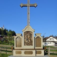
The border between Carinthia and Friuli runs along the ridge, and both sides maintain their own names for many peaks and passes. Hikers often encounter wayside crosses, small chapels, and bilingual place markers that tell the story of the shared history in this region.

Practical

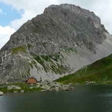
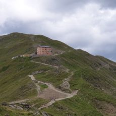
The route divides into 11 daily stages, with emergency descents to valleys and connection points at Plöckenpass road and Nassfeld for shorter options. Some huts offer hot meals and overnight stays, but it is wise to book ahead during popular stages.

Did you know?

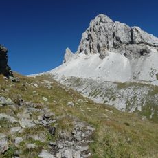
A geological education trail between Sillian and Nassfeld displays the remarkable rock formations of the Carnic Alps through information panels. Many fossils from the Paleozoic era are visible in the rocks along the way and document the formation of these mountains millions of years ago.

GPS coordinates
46.68063,12.50174
Latest update
December 5, 2025 22:31

AroundUs brings together thousands of curated places, local tips, and hidden gems, enriched daily by 60,000 contributors worldwide. Discover all places nearby (Austria, Italy).

« Karnischer Höhenweg - Mountain hiking trail in Carnic Alps, Austria and Italy » is provided by Around Us (aroundus.com). Images and texts are derived from Wikimedia project under a Creative Commons license. You are allowed to copy, distribute, and modify copies of this page, under the conditions set by the license, as long as this note is clearly visible.

Discover hidden gems everywhere you go!

From secret cafés to breathtaking viewpoints, skip the crowded tourist spots and find places that match your style. Our app makes it easy with voice search, smart filtering, route optimization, and insider tips from travelers worldwide. Download now for the complete mobile experience.

Around Us App Screenshot

A unique approach to discovering new places

Le Figaro

All the places worth exploring

France Info

A tailor-made excursion in just a few clicks

20 Minutes

Around Us
Travel Guide & Maps
Download

Send to your phone

QR Code
1

Open the camera app on your mobile.

2

Point at the QR code with your camera. A notification will appear.

3

Tap the notification to open the link.